Перейти к основному содержанию

page search

Displaying 493 - 504 of 2816

Land Surveyors Regulations (N.S. Reg, 308/2013).

LandLibrary Resource
Regulations
сентября, 2013
Canada

The present Regulations are made under the Land Surveyors Act. The Regulations lay down provisions relating to the activities of land surveyors. For the purpose of the present Regulations “approved education program” means an education program that prepares a person for entry to the profession of land surveying, as approved by an examining body determined by the Council.

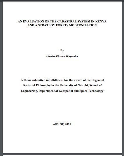
AN EVALUATION OF THE CADASTRAL SYSTEM IN KENYA AND A STRATEGY FOR ITS MODERNIZATION

LandLibrary Resource
Reports & Research
июля, 2013
Kenya

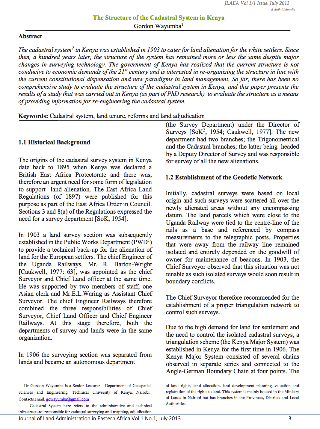
The Cadastral system in Kenya was established in 1903 to support land alienation for the white settlers who had come into the country in the early part of the 20th Century. In the last hundred years, the system has remained more or less the same, where land records are kept in paper format and majority of operations are carried out on a manual basis.

Décret n°704/PR/MPITPTHTAT du 17 juillet 2013 modifiant et supprimant certaines dispositions du décret n° 257/PR/MECIT du 19 juin 2012 réglementant les cessions et locations des terres domaniales.

LandLibrary Resource
Regulations
июля, 2013
Gabon

Le présent décret modifie les articles 31 (les attributions de l’Agence nationale de l’urbanisme des travaux topographiques et du cadastre) et 32 (procédure du dossier à la conservation de la propriété foncière et des hypothèques territorialement compétente aux fins de création du titre foncier ou de transcription de l'emphytéose du décret n° 257/PR/MECIT du 19 juin 2012 réglementant les cessio

Passive optical sensors and related image matching methods for 3D modelling

LandLibrary Resource
Peer-reviewed publication
июня, 2013
France
Italy

3D detailed models derived from digital survey techniques has increasingly developed and focused in many field of application, starting from the land and urban areas survey, with remote sensed data, to landscape assets and finally to Cultural Heritage items. The high detailed content and accuracy of such models makes them so attractive and usable for large sets of purposes.

I GIS nell’analisi dello sviluppo urbano rizomatico di Tor Vergata

LandLibrary Resource
Peer-reviewed publication
июня, 2013
Italy

L’intento dell’articolo è quello di osservare la complessità dei rapporti che legano il Campus universitario di Roma “Tor Vergata” all’universo discorsivo che lo riguarda, dalle ex borgate abusive alle immagini di periferie riqualificate del Municipio VIII, elevate nel Nuovo Piano Regolatore di Roma al rango di Centralità.

La procedura partecipativa nella stima dell’indennità di esproprio. Un modello logico-estimativo per l’applicazione dell’art. 21 del DPR 327/01

LandLibrary Resource
Peer-reviewed publication
июня, 2013
Italy

Lo studio illustra le modalità applicative della procedura prevista per il Collegio tecnico ex art. 21 del T.U. sulle espropriazioni, utile a quantificare l’indennità definitiva di esproprio. Attraverso il confronto

Analisi dei fenomeni migratori con tecniche di autocorrelazione spaziale

LandLibrary Resource
Peer-reviewed publication
июня, 2013
Italy

In meno di un secolo, l'Italia ha sperimentato una forte intensificazione del fenomeno migratorio, trasformandosi da paese di origine a paese destinatario di flussi migratori. Lo scopo di questo lavoro è quello di analizzare le consistenze dei diversi gruppi etnici nei singoli comuni italiani, esaminando il fenomeno

GIS in the analysis of the rhizomatic urban development of Tor Vergata

LandLibrary Resource
Peer-reviewed publication
июня, 2013
Italy

The scope of this article is to observe the complexity of the relations between Rome’s University Campus of Tor Vergata and its discursive universe, from the former abusive districts to the re-qualified images of the suburbs of the 8th City Hall, raised to the rank of Centralities in the New Regulatory Plan of Rome.