Traditional leaders converge for training on land negotiations skills
Institutional & promotional materials
ноября, 2016
Africa
Forests at the tropical Valley of the Apurimac and Ene rivers (VRAE), the second coca-growing region of Peru, are public common resources and nevertheless privately managed mainly by coca farmers, without effective State control of such use. The need for survival of the coca farmers, their chrematistic perception of the forest, the cultivation of cocoa (theobroma cacao) and land availability are crucial factors influencing the rates of deforestation of primary and secondary forest. Variables such as the legality of land tenure seem to have no influence.
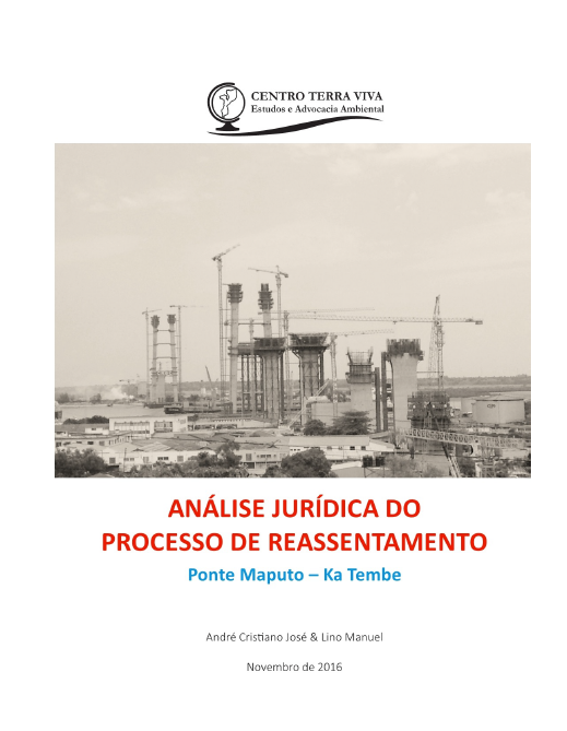
O presente relatório debruça-se sobre o processo de reassentamento de cerca de 1200 famílias dos bairros da Malanga, Luís Cabral e Gwachene resultante da construção da ponte Maputo-Ka Tembe (enquadrada no projecto Circular de Maputo), enquanto uma das componentes essenciais para o licenciamento ambiental. O reassentamento em causa está a ser implementado pela empresa Maputo Sul, entidade que tem a responsabilidade de construir a ponte e as estradas que ligam Maputo à Ka Tembe, Ponta de Ouro, e Boane à Bela Vista.
LePNATconstitueleplushautniveauduprocessuspolitiqueettechniquedel’utilisationduterritoire.
LePNAToffrel’opportunitéd’encadrerdemanièrecohérentelesinitiativesdedéveloppementenmaximisantlesopportunitésd’optimisationetenminimisantlesrisquesdeconflitscar,résultantd’unecollaborationentretouslesministères,ilconstituelepremierdispositifdegestionduterritoireentièrementissudesadministrationsgabonaisesetdevientl’instancederéférenced’uneplanificationcohérenteduterritoire.
Corruption in land governance is commonly defined as the abuse of entrusted power for private gain while carrying out the functions of land administration and land management. When land investors target countries with weak governance, the risk of corruption is high. Likewise, corruption is more likely to occur when local elites are able to manipulate their country’s land governance systems for their own benefit

A fiscal registry or database is supposed to record geometric, legal, physical, economic, and environmental characteristics in relation to property units, which are subject to immovable property valuation and taxation. Apart from procedural standards, there is no internationally accepted data standard that defines the semantics of fiscal databases.
This course covers the techniques for spatial data acquisition, spatial analysis, modelling, integration of various data sources and sharing spatial information (international standards and interoperability, spatial data infrastructure).
The course introduces spatial planning, identifying its rationale and benefits, its key principles and the main stages in the spatial planning process. It represents a useful reference for all those who want to promote and implement spatial planning in their countries as an instrument to reconcile and harmonize different, often conflicting, public and private interests on land, fisheries and forests.

This guide aims to help enterprises observe standards of responsible business conduct and undertake due diligence along agricultural supply chains in order to ensure that their operations contribute to sustainable development. It provides information on
• a model enterprise policy outlining the standards that enterprises should observe to build responsible agricultural supply chains,
La Guía OCDE-FAO para la cadena de suministro responsable para el sector agrícola, en adelante “la Guía”, es una, dentro de varias guías desarrolladas por la OCDE para ayudar a las empresas a adoptar estándares de conducta empresarial responsable a lo largo de las cadenas de suministro agrícola, incluyendo las Líneas Directrices de la OCDE para Empresas Multinacionales, los Principios para la Inversión Responsable en la Agricultura y los Sistemas Alimentarios y las Directrices Voluntarias sobre la Gobernanza Responsable de la Tenencia de la Tierra, la Pesca y los Bosques en el Contexto de
Utilities, buildings and infrastructure digital representations are very important set of spatial data for quality and sustainable spatial management and development of community in general. Many countries are on the way of the establishment of the 3D cadastre. Existing 2D cadastral systems are able to make gradual transition to 3D cadastre, but for the implementation of real 3D cadastre in many countries it is necessary to change the regulations. A topographic sign or topographic symbol is representation of a topographic

The year 2016 marks 15 years since the new wave land reforms became operational in Tanzania. Despite its ambitious goals – encouraging land registration and titling, and empowering women and other vulnerable groups – the results are disillusioning. A brief overview of 15 years of implementation, using the Village Land Act as a case study.