Proportion of important sites for terrestrial and freshwater biodiversity that are covered by protected areas, by ecosystem type
Last updated on 1 February 2022
This indicator is currently classified as Tier I. The United Nations Environment Programme (UNEP) is the Custodian agency for this indicator.
Unit of measure: Mean percentage of each terrestrial and freshwater Key Biodiversity Area covered by (i.e. overlapping with) protected areas and/or Other Effective Area-based Conservation Measures
Sub Indicators: Average proportion of Freshwater Key Biodiversity Areas (KBAs) covered by protected areas (%), Average proportion of Terrestrial Key Biodiversity Areas (KBAs) covered by protected areas (%)
Why is this indicator important?
To bring the global decline in biodiversity to a halt and secure a long-term and sustainable use of terrestrial and freshwater natural resources, it is crucial to safeguard important sites. Establishing protected areas is an essential mechanism to reach this objective. SDG Indicator 15.1.2 measures progress toward the conservation, restoration and sustainable use of terrestrial and freshwater ecosystems and their services, in accordance with international agreements.
How is the indicator measured and monitored?
SDG indicator 15.1.2 measures the proportion of important sites for terrestrial and freshwater biodiversity that are covered by protected areas, by ecosystem type. Data derived from a spatial overlap between digital polygons for protected areas from the World Database on Protected Areas, digital polygons for Other Effective Area-based Conservation Measures (OECMs) from the World Database on OECMs, and digital polygons for terrestrial and freshwater Key Biodiversity Areas (from the World Database of Key Biodiversity Areas, including Important Bird and Biodiversity Areas, Alliance for Zero Extinction sites, and other Key Biodiversity Areas) is the basis for the calculation of the indicator. Protected areas are defined by IUCN as clearly defined geographical spaces, recognized, dedicated and managed, through legal or other effective means, to achieve the long-term conservation of nature with associated ecosystem services and cultural values.
According to the metadata document, the value of the indicator at a given point in time, based on data from the year of protected area establishment recorded in the World Database on Protected Areas, is computed as the mean percentage of each Key Biodiversity Area currently recognized. Disaggregation is available by national, regional, and global levels and ecosystem types. The indicator does not encompass degazetted sites that are not listed in the World Database of Protected Areas, as well as ‘proposed’ or ‘not reported’ sites and protected areas lacking digital boundaries.
International organizations responsible for global monitoring are the United Nations Environment World Conservation Monitoring Centre (UNEP-WCMC), BirdLife International (BLI), and the International Union for Conservation of Nature (IUCN).
By Anne Hennings, peer-reviewed by UNEP.
Official indicator data
Proportion of important sites for terrestrial and freshwater biodiversity that are covered by protected areas, by ecosystem type. This dataset provides a percentage of the mean proportion of Key Biological Areas (KBA) that are protected for their environmental values in both terrestrial ecosystems and freshwater ecosystems. * Select "year" below to see the most recent data for more countries. ** To refresh the map with other official data, use the ’Select an indicator field’. Type in the other indicators titles, as given in the table below.
| Indicator | Min-Max Number of years |
Countries / Obs | Min / Max Value |
|---|---|---|---|
| Average proportion of Freshwater Key Biodiversity Areas (KBAs) covered by protected areas (%) | |||
| Average proportion of Terrestrial Key Biodiversity Areas (KBAs) covered by protected areas (%) |
Other related indicators on Land Portal
Other related data: In addition to the official indicator data, the following indicators provide information related to terrestrial and marine protected areas and community or indigneous land rights in protected areas.
| Indicator | Min-Max Number of years |
Countries / Obs | Min / Max Value |
|---|---|---|---|
| Marine protected areas (% of territorial waters) | |||
| Terrestrial and marine protected areas (% of total territorial area) | |||
| Terrestrial protected areas (% of total land area) | |||
| X - Land Rights in protected areas - Community Lands | |||
| X - Land Rights in protected areas - Indigenous People |
Paginação
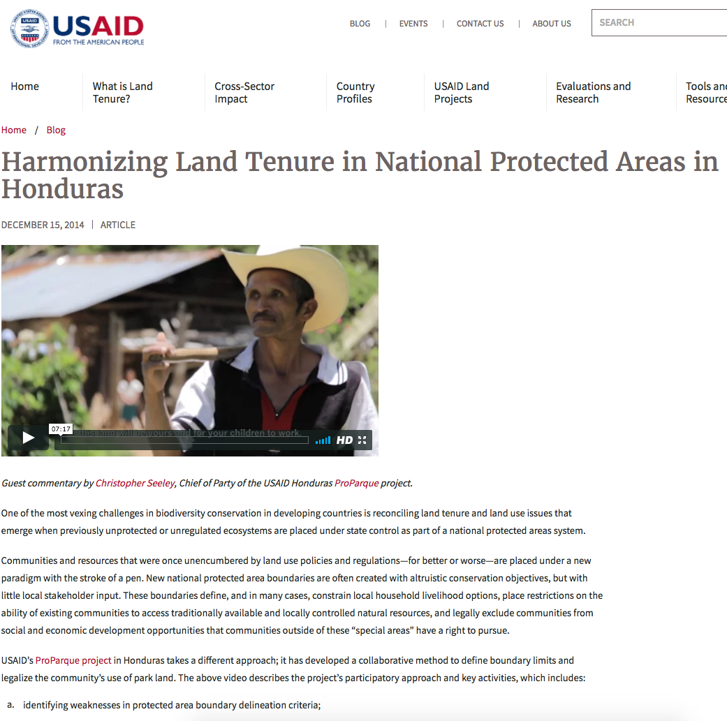
Harmonizing Land Tenure in National Protected Areas in Honduras
If you cannot view, click here.Guest commentary by Christopher Seeley, Chief of Party of the USAID Honduras ProParque project.
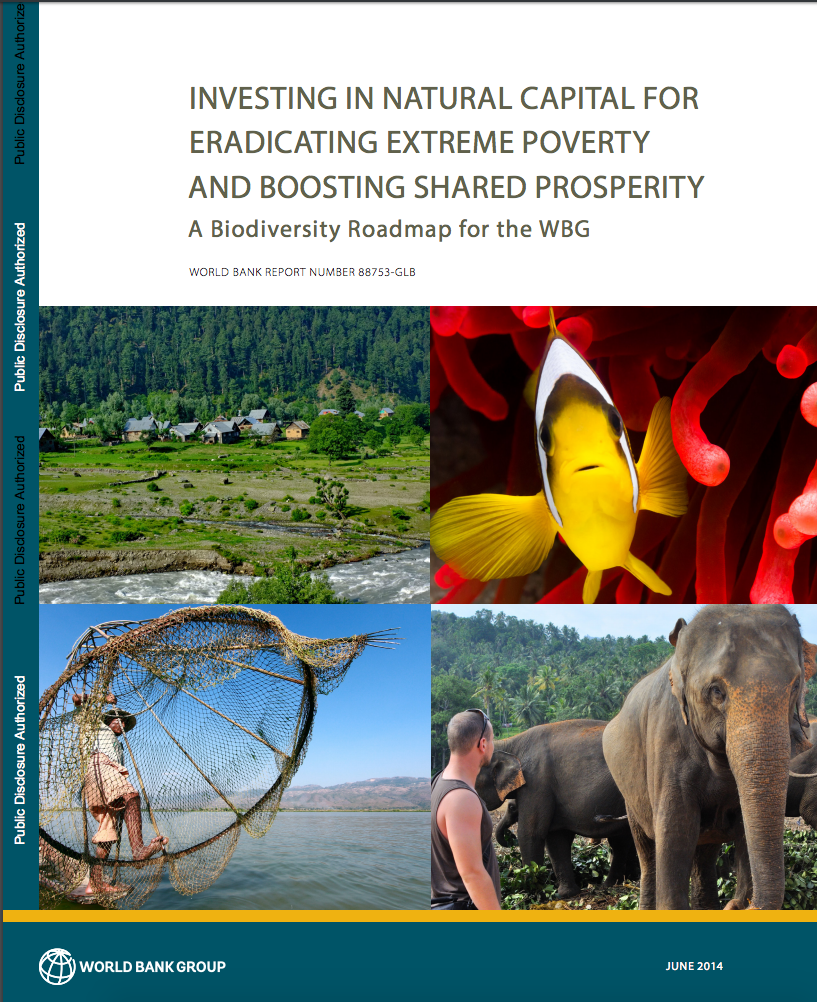
Investing in Natural Capital for Eradicating Extreme Poverty and Boosting Shared Prosperity : A Biodiversity Roadmap for the WBG
The World Bank Group (WBG) has a long
experience in engaging in biodiversity with world-class
expertise in the field. It has been the single largest
funder of biodiversity investments since the late 1980s. The
WBG investments have largely been of two kinds: (1)
Land-Use Threats and Protected Areas: A Scenario-Based, Landscape Level Approach
Anthropogenic land use will likely present a greater challenge to biodiversity than climate change this century in the Pacific Northwest, USA. Even if species are equipped with the adaptive capacity to migrate in the face of a changing climate, they will likely encounter a human-dominated landscape as a major dispersal obstacle.
Land claims and the pursuit of co-management on four protected areas in South Africa
Successful land claims on protected areas by previously disenfranchised communities often result in co-management agreements between claimant communities and state conservation agencies. South Africa, in particular, has pursued co-management as the desired outcome of land claims on its protected areas.
Landscape functionality in protected and unprotected areas: Case studies from the Czech Republic
Landscape structure not only reflects the natural settings of the landscape but also its history and the impact of human activity. Information about the characteristics of the landscape elements in terms of their structural functionality plays a central role in assessing their ecological quality.
Paginação
![]()

By 2020, ensure the conservation, restoration and sustainable use of terrestrial and inland freshwater ecosystems and their services, in particular forests, wetlands, mountains and drylands, in line with obligations under international agreements
Indicator details
The Indicator is conceptually clear, has an internationally established and available methodology and standards, and that data is regularly produced by countries for at least 50 per cent of countries and of the population in every region where the indicator is relevant.
Key dates:


