Location
Our mission is to increase openness, integrity, and reproducibility of research.
These are core values of scholarship and practicing them is presumed to increase the efficiency of acquiring knowledge.
For COS to achieve our mission, we must drive change in the culture and incentives that drive researchers’ behavior, the infrastructure that supports their research, and the business models that dominate scholarly communication.
This culture change requires simultaneous movement by funders, institutions, researchers, and service providers across national and disciplinary boundaries. Despite this, the vision is achievable because openness, integrity, and reproducibility are shared values, the technological capacity is available, and alternative sustainable business models exist.
COS's philosophy and motivation is summarized in its strategic plan and in scholarly articles outlining a vision of scientific utopia for research communication and research practices.
Because of our generous funders and outstanding partners, we are able to produce entirely free and open-source products and services. Use the header above to explore the team, services, and communities that make COS possible and productive.
Members:
Resources
Displaying 1 - 5 of 447Covid-19 pandemic and harmful policies push Brazil into an environmental crisis
Strong evidence indicates that the Brazilian government is taking advantage of the confusion caused by the Covid-19 pandemic to speed-up a wide-ranging environmental setback. We present a timeline of policies and acts taken by the current federal administration against the environment during the pandemic and discuss their consequences. The unprecedented amount of measures affecting environmental policies is especially intended to weaken deforestation control and transparency of environmental agencies, and allow the expansion of harmful activities (e.g.
The effect of Neutral Density Filters on drones orthomosaics classifications for land-use mapping
Landscape and Street Photographers use Neutral Density (ND) Filters to enhance their photos, drones images with advanced photogrammetry software produce high-resolution orthomosaic for the production of land use maps. This paper study the effect of four different neutral density filters (ND-4, ND-8, ND-16, and ND-32) on drone orthomosaics production of a half urbanized area, a five generated orthomosaics one not filtered and four filtered were classified in a remote sensing software and compared between each other.
Policy intent meets reality: the conformance of 20 years of metropolitan compact activity centre policy in greater Brisbane, Australia
For two decades, increasing concerns about urban sustainability have driven Australian metropolitan planning efforts to call for fundamental changes to existing urban forms. These changes are intended to develop more compact cities characterised by a poly-nodal network of dense activity centres. In this paper we provide the first long-term, comprehensive evaluation of the implementation of this policy in greater Brisbane.
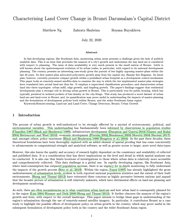
Characterising Land Cover Change in Brunei Darussalam’s Capital District
In fast-developing regions, like Southeast-Asia, monitoring urban areas presents a challenge given the lack of publicly available data. This is an issue that precludes the nuances of a city’s growth and undermines the way land-use is considered with respect to planning. The issue of data availability is very much present in the small nation of Brunei. Little is still known about the spatiotemporal evolution of its urban realm; in particular, with regard to its national development planning.
Mapping and monitoring of the land use/cover changes in the wider area of Itanos, Crete, using very high resolution EO imagery with specific interest in archaeological sites
Archaeological site mapping is important for both understanding the history and protecting the sites from excavation during developmental activities. As archaeological sites are generally spread over a large area, use of high spatial resolution remote sensing imagery is becoming increasingly applicable in the world. The main objective of this study is to map the land cover of the Itanos area of Crete and of its changes, with specific focus on the detection of the landscape’s archaeological features.


