Topics and Regions
GIS Analyst and Training Coordinator for NASA's Applied Remote Sensing Training Program (ARSET)
Research and training on satellite remote sensing for air quality, hydrology and ecosystem monitoring.
Details
Location
Contributions
Displaying 1 - 10 of 49Introduction to the Integration of Animal Tracking and Remote Sensing
Animals are sentinels of environmental change, and animal telemetry is a commonly used tool to quantify habitat use and help understand environmental changes. NASA data can be used to characterize the environmental parameters that infer the habitats that animals use.
NASA Applied Remote Sensing Training Program (ARSET)
ARSET offers online and in-person trainings for beginners and advanced practitioners alike. Trainings cover a range of datasets, web portals, and analysis tools and their application to air quality, agriculture, disasters, land, and water resource management. Since 2009, the program has reached more than 100,000 participants from 183 countries and more than 17,000 organizations worldwide.
Introduction to NASA Earth Observations and Tools for Operational Wildfire Monitoring and Management
Wildland fire managers, scientists and the public benefit from timely and easy to access information about current fire activity to provide information about potential risks and support suppression activities. NASA provides multiple sources of time sensitive satellite imagery and derived data products within the Fire Information for Resource Management System (FIRMS).
Calculating Spectral Indices for Land and Aquatic Applications Using QGIS
This training will provide an overview of spectral indices for land and aquatic applications as they are calculated with a QGIS platform. Specifically, this training will begin with an introduction to the Normalized Difference Vegetation Index (NDVI), along with its calculation, uses, and applications in diverse thematic areas (agriculture, disasters, etc.).
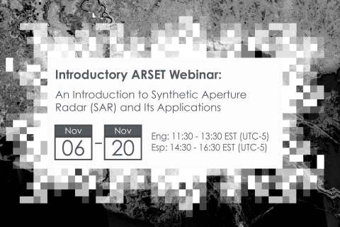
An Introduction to Synthetic Aperture Radar (SAR) and Its Applications
Synthetic Aperture Radar (SAR) has the capability to observe the Earth's surface both day and night and through most weather conditions, making it an ideal sensor to support a wide range of science and applications.
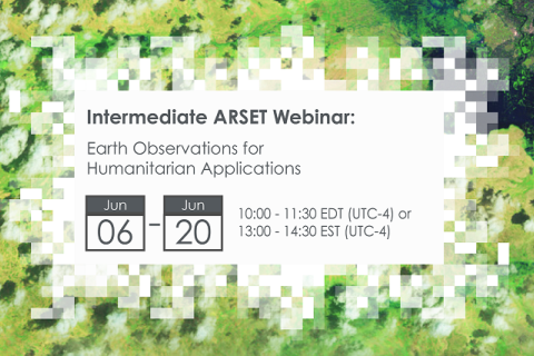
Earth Observations for Humanitarian Applications
NASA’s Applied Remote Sensing Training Program (ARSET) has opened a new open, online webinar series: Earth Observations for Humanitarian Applications. Refugees, internally displaced people (IDPs), and other displaced populations are made more vulnerable to climate change impacts due to their socio-political marginalization. This three-part, intermediate training presents concrete strategies for mapping localized climate conditions with risks faced by refugee and IDP communities around the world.
The training will focus on flood risk assessments and specific challenges for assessing flood risk in refugee and IDP camps; gauging long-term heat stress in refugee camps and the challenges with decision making surrounding heat risk; and monitoring drought effects on agricultural landscapes in refugee settings using Earth observations (EO) to explore the correlations between anomalies in crop productivity and weather-based factors
Introduction to Lightning Observations and Applications
NASA’s Applied Remote Sensing Training Program (ARSET) has opened a new open, online webinar series: Introduction to Lightning Observations and Applications. This three-part, introductory training focuses on global and regional lightning data products that can be applied to disaster risk preparedness.
As the intensity and frequency of extreme weather events are likely to increase due to climate change impacts, lightning activity will likely increase as well, causing more power outages, increased risks of wildfire ignition, and increased numbers of injuries and fatalities. Therefore, information about lightning activity is critical for better preparedness against these disasters.
Large Scale Applications of Machine Learning using Remote Sensing for Building Agriculture Solutions
NASA’s Applied Remote Sensing Training Program (ARSET) has opened a new open, online webinar series: Large Scale Applications of Machine Learning using Remote Sensing for Building Agriculture Solutions. Remote sensing data is becoming crucial to solve some of the most important environmental problems, especially pertaining to agricultural applications and food security. Participants will become familiar with data format and quality considerations, tools, and techniques to process remote sensing imagery at large scale from publicly available satellite sources, using cloud tools such as AWS S3, Databricks, and Parquet. Additionally, participants will learn how to analyze and train machine learning models for classification using this large source of data to solve environmental problems with a focus on agriculture.
Transforming Earth Observation (EO) Data into Building Infrastructure Data Sets for Disaster Risk Modeling
NASA’s Applied Remote Sensing Training Program (ARSET) has opened a new open, online, intermediate webinar series: Transforming Earth Observation (EO) Data into Building Infrastructure Data Sets for Disaster Risk Modeling. This three-part training, presented in English and Spanish, is open to the public and will cover the basics of natural hazard risk modeling and exposure development with a focus on fusing data from multiple datasets expressly for the purposes of risk assessment. We will also present examples applying the techniques to applications related to flood risk assessment, climate adaptation, and earthquake modeling.
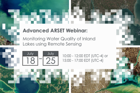
Monitoring Water Quality of Inland Lakes using Remote Sensing
NASA’s Applied Remote Sensing Training Program (ARSET) has opened a new open, online webinar series: Monitoring Water Quality of Inland Lakes using Remote Sensing. This advanced-level training will focus on using remote sensing observations from Landsat 8 and 9, Sentinel-2, and Sentinel-3 for assessing water quality parameters, including chlorophyll-a concentration, turbidity, and Total Suspended Solids (TSS) in inland lakes. This training will also highlight the importance of in situ measurements of these parameters, coincident with satellite observations, in developing methodologies for operational water quality monitoring.


