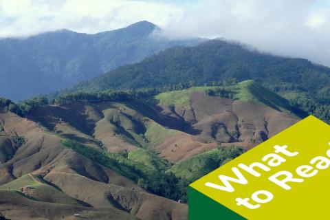
La curación de la isla chilena de Huapi. Cómo los Pueblos Indígenas restauran los bosques autóctonos para aumentar la resiliencia climática
En la isla chilena de Huapi, los bosques autóctonos se habían fragmentado, empobreciendo y secando los suelos y dejando a su población vulnerable a los efectos del cambio climático
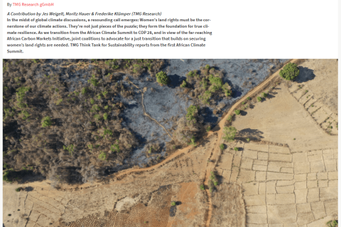
TOWARDS CLIMATE JUSTICE: SECURING WOMEN’S LAND RIGHTS FOR A RESILIENT TOMORROW
A Contribution by Jes Weigelt, Moritz Hauer & Frederike Klümper (TMG Research)
Land Rights and Gender Responsive Climate Action Seminar
Los culpables de la crisis climática y ambiental
Por Gonzalo Colque, investigador de F.Tierra
Esta semana, los cruceños sufrieron la peor crisis climática y ambiental. La alta contaminación del aire por el humo de los incendios obligó a las autoridades a suspender las clases en más de 3.600 escuelas y colegios. Durante tres días consecutivos, en horas pico, el termómetro marcó por encima de 40° C, algo sin precedentes en la urbe cruceña. A razón de estos hechos, el comité de emergencia declaró “alerta roja sanitaria” y se multiplicaron los pedidos para buscar y sancionar a los culpables.
Compatibilidad de Datos en la vinculación de la Degradación de las Tierras y la Seguridad de la Tenencia
Esta historia de datos investiga los retos para alinear la acción sobre la degradación de las tierras y la seguridad de la tenencia, basándose en la revisión de los conjuntos de datos disponibles en ambos ámbitos.
New York Global Landscapes Forum “Restore the Earth” 2019
The Rangelands Initiative of the International Land Coalition (ILC) is drawing attention to rangelands and drylands at the highest levels, in order to find solutions to the challenges faced by local populations that live and work there, and to encourage appropriate investment including in securing land rights and good governance, building resilience to drought and other shocks or stresses, and increasing rangeland productivity.
Leveraging Open Data in the Fight Against Corruption
The land sector is increasingly being cited as a corruption hub. Many countries across the globe are grappling with land-related corruption that dates to the colonial years and which have metamorphosed into historical injustices and continue to be a source of conflict and violation of basic human rights. Cases of land grabbing, compensation-less expropriation, gender-based discrimination in accessing and ownership of land and related resources, illegal mining deals, bribing to access land administration services among others are not new in the lands sector.
Statement by Her Excellency Ambassador Josefa L.C. Sacko, Commissioner for Rural Economy and Agriculture, African Union Commission
I bring you warm greetings from H.E. Mousa Faki Mahamat, the Chairperson of African Union Commission. It is my honour and pleasure to deliver this statement at the opening of the Conference on Land Policy in Africa. I salute the African Development Bank (AfDB), the Government of Côte D’Ivoire and all partners for hosting and successfully organizing the 2019 Conference on Land Policy in Africa.
Deforestation and forest degradation in the Amazon Biome
Introduction
The Deforestation and Forest Degradation in the Amazon Biome map was produced by Imazon in order to contribute towards monitoring in the region. The methodology applied simultaneously generates mapping of deforestation and forest degradation [caused by logging activity and forest burning] using Landsat satellite images. Existing methods individually detect and map those processes, which can lead to overlaps in the results and increasing uncertainty in estimates of annual deforestation rates.


