parcours
AGROVOC URI:
Enhancement of capacity in applied biometry in East and southern Africa
Biometric skills in developing countries are inadequate to support the changing priorities of agricultural research with the consequence that the quality of research aimed at increasing food security and alleviating poverty is often deficient because it lacks good statistical design" (CTA, 1997).
Enhancing livelihoods of poor livestock keepers through increased use of fodder in Syria
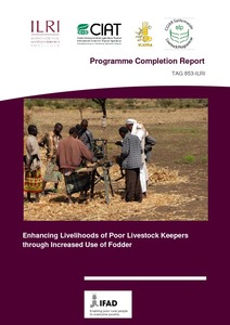
Enhancing Livelihoods of Poor Livestock Keepers through Increased Use of Fodder: Programme completion report
A report submitted to IFAD on the completion of the Fodder Adoption Project (FAP), (TAG 853-ILRI) programme.
Environmental impact assessment of small scale resource exploitation: The case of gold panning in Zhulube Catchment, Limpopo Basin, Zimbabwe
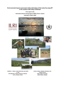
Environmental impact assessment of the elimination of the tsetse fly using SIT in the southern Rift Valley of Ethiopia
Ethiopia country programming paper to end drought emergencies in the Horn of Africa
Ethiopia livestock master plan: Roadmaps for growth and transformation
Evaluation of feed resources in mixed crop-livestock systems in the Sudano-Sahelian zone of Mali
Evaluating fire severity in Sudanian ecosystems of Burkina Faso using Landsat 8 satellite images
The fire severity of the 2013–2014 fire season within Sudanian ecosystems in Burkina Faso was evaluated from Landsat 8 images using derivatives of the Normalized Burn Ratio algorithm (NBR). The relationship between the image-derived severity and the field observed severity i.e. Composite Burn Index (CBI) was best described by a nonlinear model of the form y = a + b*EXP(CBI *c) (R2 = 0.66). Classification of the image-derived burned area into burn severity classes achieved a classification Kappa accuracy statistic of 0.56.

