Sécurité de tenure : améliorer la gestion des catastrophes et l'adaptation
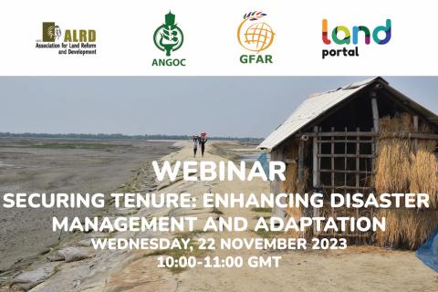
21 Novembre 2023
Les catastrophes induites par le changement climatique et les réponses des communautés pour se protéger et concevoir des solutions sont devenues une priorité absolue de l'agenda climatique. Au centre des discussions sur l'atténuation et l'adaptation, on trouve les populations urbaines, en particulier dans les quartiers informels. Dans le même temps, les pauvres des zones rurales ayant un accès limité ou non sécurisé à la terre ont tendance à être négligés.
Land Portal Foundation
Global Forum on Agricultural Research
Asian NGO Coalition (ANGOC)
Association for Land Reform and Rural Development
Global Land Tool Network