Aller au contenu principal

page search

Displaying 373 - 384 of 1803

Définition et visualisation du type du contexte socio-écologique (CSET)

Videos
Novembre, 2017
Global

Under the Economics of Land degradation initiative (ELD), scientists from ICARDA are collaborating with developments to develop the GeOC tool. It is a new web-based GIS tool to define context specific options for sustainable land management required to achieve Land Degradation Neutrality (LDN).
This video illustrates the process of defining and visualizing the socio-ecological context type in the GeOC tool.
To check the GeOC tool, please follow this link: http://geoc.mel.cgiar.org

Overview of interface of the sustainable land management (SLM) tool

Videos
Novembre, 2017
Global

Under the Economics of Land degradation initiative (ELD), scientists from ICARDA are collaborating with developments to develop the GeOC tool. It is a new web-based GIS tool to define context specific options for sustainable land management required to achieve Land Degradation Neutrality (LDN).
This video illustrates the interface of the SLM tool of the GeOC tool.
To check the GeOC tool, please follow this link: http://geoc.mel.cgiar.org
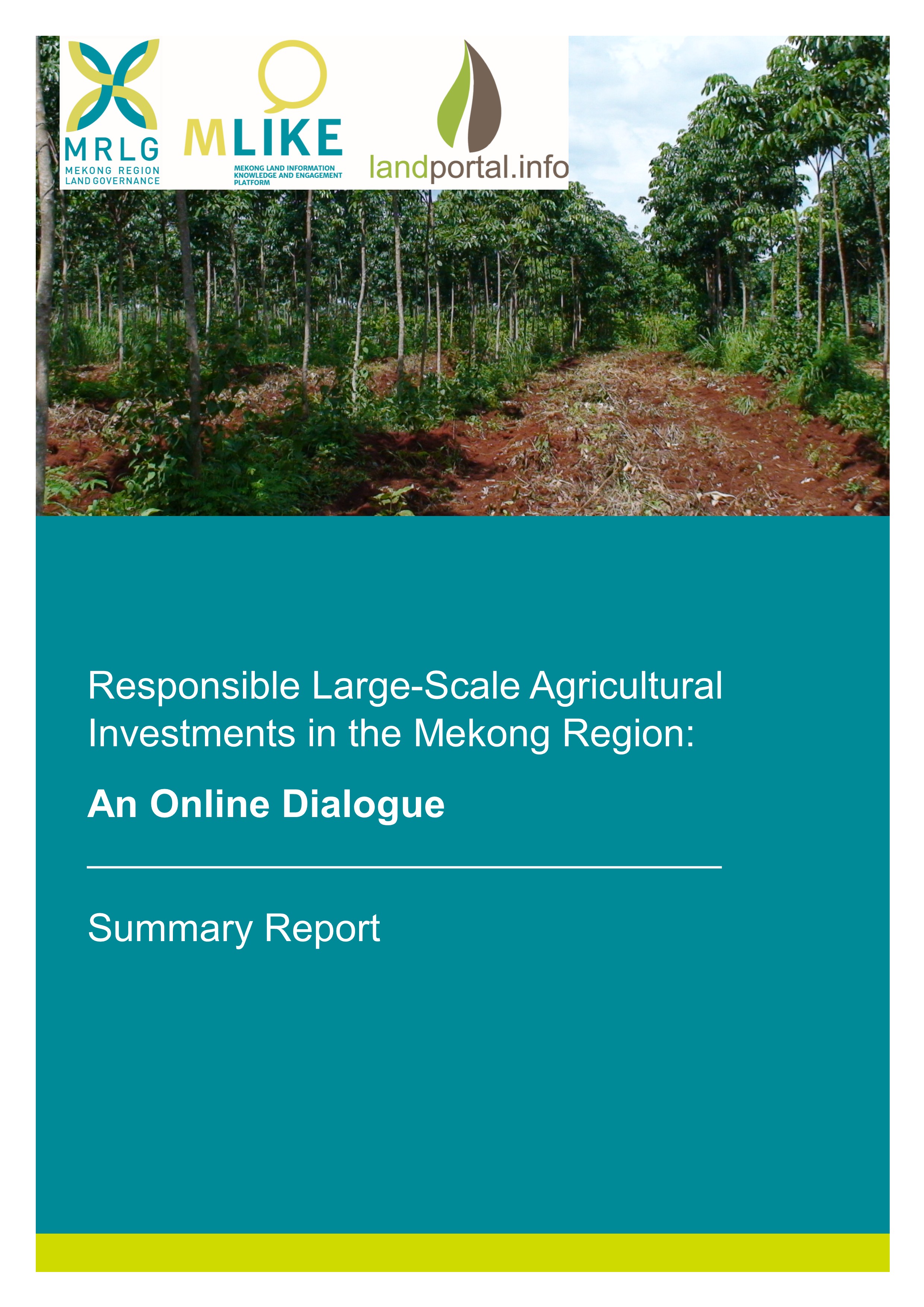
Responsible Large-Scale Agricultural Investments in the Mekong Region

Reports & Research
Octobre, 2017
Asia du sud-est

The Mekong Region Land Governance (MRLG) project, MLIKE (Mekong Land Information and Knowledge Exchange),  and the Land Portal co-facilitated an online dialogue on “Responsible Large Scale Agricultural Investments in the Mekong Region” on 09-27 October 2017. The full dialogue can be read here. This report delineates the key messages emerging from the dialogue.

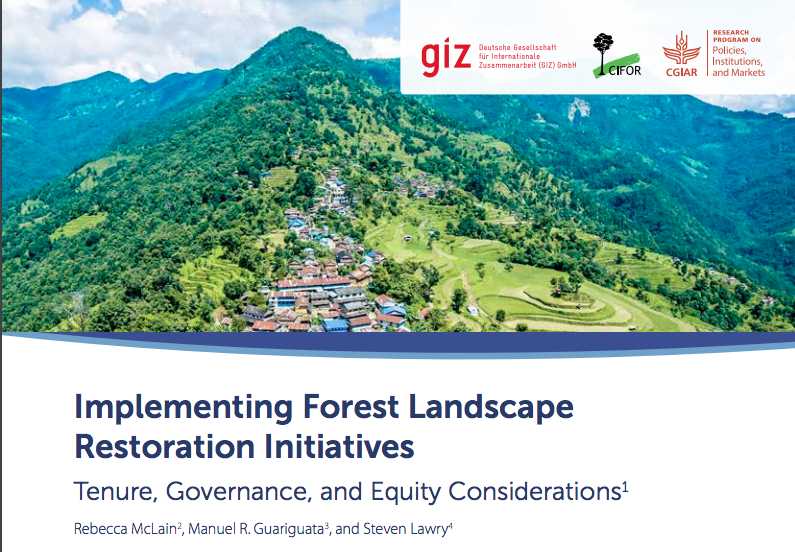
Implementing Forest Landscape Restoration Initiatives

Policy Papers & Briefs
Octobre, 2017
Global

Forest landscape restoration (FLR) initiatives are being launched over much of the global South. These initiatives seek to restore ecological functions and associated ecosystem goods and services while improving social outcomes (Mansourian and Vallauri 2014). The scale of these initiatives is such that large geographic areas as well as large numbers of people will be affected in the countries that choose to participate in them.

Unpacking systemic innovation capacity as strategic ambidexterity: How projects dynamically configure capabilities for agricultural innovation

Peer-reviewed publication
Octobre, 2017
Nouvelle-Zélande

Problems in agriculture and land use are increasingly recognised as complex, uncertain, operating at multiple levels (field to global value chains) and involving social, economic, institutional, and technological change. This has implications for how projects navigate complexity to achieve impact. However, few studies have systematically evaluated how project actors engage with other actors to configure capabilities and resources across multiple levels in agricultural innovation systems (AIS), from the individual to the network, to mobilise and build systemic innovation capacity.

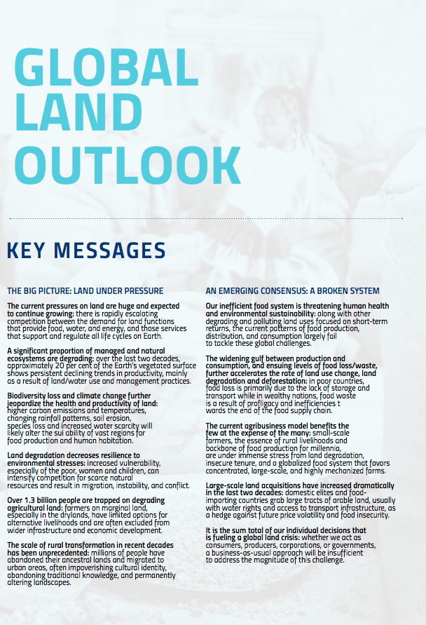
Global Land Outlook

Policy Papers & Briefs
Octobre, 2017
Global

The current pressures on land are huge and expected to continue growing: there is rapidly escalating competition between the demand for land functions that provide food, water, and energy, and those services that support and regulate all life cycles on Earth.

Updated WebGIS integrated in the Global Geo-informatics Options by Contexts (GeOC) Tool (English version)

Institutional & promotional materials
Octobre, 2017
Tunisia
Northern Africa

This is the presentation of Dr. Badabate Diwediga during the workshop "Sustainable Land Management to Achieving Land Degradation Neutrality: Options-by-Context Approach and Tool", final workshop for the project "Impact Evaluation of SLM Options to Achieve Land Degradation Neutrality", held in Tunis on the 24th October 2017. This presentation highlights the new interfaces of the WEBGIS components of the GeOC tool.

Overview of project results (French version)

Institutional & promotional materials
Octobre, 2017
Tunisia
Northern Africa

This is the presentation of Dr. Quang Bao Le during the workshop "Sustainable Land Management to Achieving Land Degradation Neutrality: Options-by-Context Approach and Tool", final workshop for the project "Impact Evaluation of SLM Options to Achieve Land Degradation Neutrality", held in Tunis on the 24th October 2017. This presentation highlights the progress of the project.

Sustainable Land Management to Achieve Land Degradation Neutrality: Options-by-Context Approach and Tools

Institutional & promotional materials
Octobre, 2017
Tunisia
Northern Africa

This is the presentation of Dr. Taoufik Hermassi during the workshop "Sustainable Land Management to Achieving Land Degradation Neutrality: Options-by-Context Approach and Tool", final workshop for the project "Impact Evaluation of SLM Options to Achieve Land Degradation Neutrality", held in Tunis on the 24th October 2017. This presentation highlights the different sessions and presentation of the closure workshop "Sustainable Land Management to Achieving Land Degradation Neutrality: Options-by-Context Approach and Tool".

GIS-based drivers and performance indicators of SLM: definitions, justification and calculation methods, results

Institutional & promotional materials
Octobre, 2017
Tunisia
Northern Africa

This is the presentation of Dr. Quang Bao Le during the workshop "Sustainable Land Management to Achieving Land Degradation Neutrality: Options-by-Context Approach and Tool", final workshop for the project "Impact Evaluation of SLM Options to Achieve Land Degradation Neutrality", held in Tunis on the 24th October 2017. This presentation highlights the new interfaces of the GIS data of the GeOC tool.

Online form of Sustainable Land Management (SLM) option by context (English version)

Institutional & promotional materials
Octobre, 2017
Tunisia
Northern Africa

This is the presentation of Fajr Fradi during the workshop "Sustainable Land Management to Achieving Land Degradation Neutrality: Options-by-Context Approach and Tool", final workshop for the project "Impact Evaluation of SLM Options to Achieve Land Degradation Neutrality", held in Tunis on the 24th October 2017. This presentation highlights the new interfaces of the SLM component of the GeOC tool.

Multi-temporal and multi-scale assessment of landscape pattern dynamics in Tunisia using MODIS and Landsat data (English version)

Institutional & promotional materials
Octobre, 2017
Tunisia
Northern Africa

This is the presentation of Dr. Badabate Diwediga during the workshop "Sustainable Land Management to Achieving Land Degradation Neutrality: Options-by-Context Approach and Tool", final workshop for the project "Impact Evaluation of SLM Options to Achieve Land Degradation Neutrality", held in Tunis on the 24th October 2017. This presentation is a landscape dynamics analysis in Tunisia.