Fil d'Ariane
- Community Land Not Acknowledged by Government - Held under Customary tenure
Community lands are all lands that fall under the customary governance of the community whether or not this is recognized in national law. Community land is variously described as the community domain, community land area, community territory, or other terms (e.g., Tanzania refers to village lands, Ghana to customary lands, China to collectives, Cambodia refers to indigenous lands, etc.).
"Not acknowledged by government" refers to indigenous or community land that is not recognized in law or formally set aside for Indigenous Peoples or community occupation or use. "Held or used under customary tenure" means that the national legal framework does not permit or allow for recognition of indigenous/community lands or the Indigenous Peoples or community has not pursued formal recognition from the government.
Read more about this on LandMark's Community Level Data and Methods page.
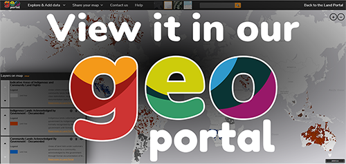
View this data on the Land Portal's Geoportal!
LandMark source: Various. See the attribute box associated with each spatial entity to identify its data source and contributor. For an overview of data sources and providers per country, see the Data Providers page.
Frequency: Data are updated periodically as acquired, reviewed, and standardized.
Caution: LandMark aims to display the best-quality data available from reputable organizations and recognized experts, but does not endorse or verify the accuracy of any dataset. The platform includes maps and data on indigenous and community lands that are publicly available as well as information voluntarily contributed by individuals and organizations with their permission as detailed in a data-sharing agreement. The contributing individuals and organizations, which are documented in the Data Providers page, are responsible for their data. Users are encouraged to report any errors, omissions, or inconsistencies to the LandMark Operations Team (info@landmarkmap.org) and the appropriate data provider. Amendments will be made on a periodic basis. For more information, see Data Quality standards.
Creative Commons Attribution
This license lets others distribute, remix, tweak, and build upon your work, even commercially, as long as they credit you for the original creation. Recommended for maximum dissemination and use of licensed materials.
Platform may be cited as: LandMark. 2017. LandMark: The Global Platform of Indigenous and Community Lands. Available at: http://www.landmarkmap.org/. To cite data sources for individual countries or other areas, see the Data Providers page or attribute box associated with each spatial entity.


