Pasar al contenido principal

page search

Displaying 97 - 108 of 109

Cartografía de coberturas del suelo mediante Sensores Remotos, de la ciudad de Resistencia, Argentina (2013)

Journal Articles & Books
Marzo, 2017
Argentina

Los Sensores Remotos se han convertido en los últimos tiempos en una herramienta importante para la planificación territorial, debido a la originalidad metodológica con la cual operan y el amplio espectro de observación de la superficie terrestre. El número de algoritmos disponibles en la literatura científica, permiten tratar individualmente muchas de las coberturas terrestres y caracterizarlas en base a su comportamiento espectral. En el presente trabajo se han aplicado dos métodos de clasificación de imágenes: árboles de decisión o reglas y clasificación no supervisada.

Strengthening Land Tenure in Informal Settings: A Fit-For-Purpose Approach

Journal Articles & Books
Noviembre, 2018
Kenya
Tanzania
Myanmar
India
Nepal
Global

A functioning land administration sector is the foundation for economic growth. Unfortunately, effective land registry and cadastral systems with national coverage exist in only a fraction of the world’s countries. Cadasta Foundation is working to overcome this challenge by developing simple digital tools and technology to help partners efficiently document, analyze, store, and share critical land and resource rights information.

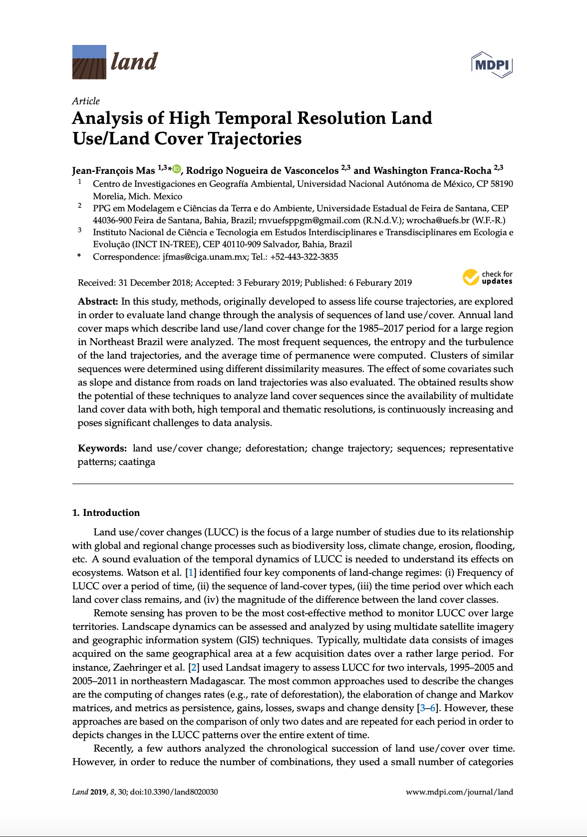
Analysis of High Temporal Resolution Land Use/Land Cover Trajectories

Peer-reviewed publication
Enero, 2019
Brasil

In this study, methods, originally developed to assess life course trajectories, are explored in order to evaluate land change through the analysis of sequences of land use/cover. Annual land cover maps which describe land use/land cover change for the 1985–2017 period for a large region in Northeast Brazil were analyzed. The most frequent sequences, the entropy and the turbulence of the land trajectories, and the average time of permanence were computed. Clusters of similar sequences were determined using different dissimilarity measures.

Land Rights for Slum Dwellers in Odisha: Making technology work for the urban poor

Reports & Research
Febrero, 2019
India

The webinar Land Rights for Slum Dwellers in the East Indian State Odisha: Making technology work for the urban poor took place on 14 February, 2018. 

The webinar discussed anecdotes of the land rights policy in the state, application of innovative technology, processes and partnerships in the project execution and best practices followed in gaining rights for slum dwellers. 

This report provides a brief summary of the webinar dialogue and the main points that emerged.

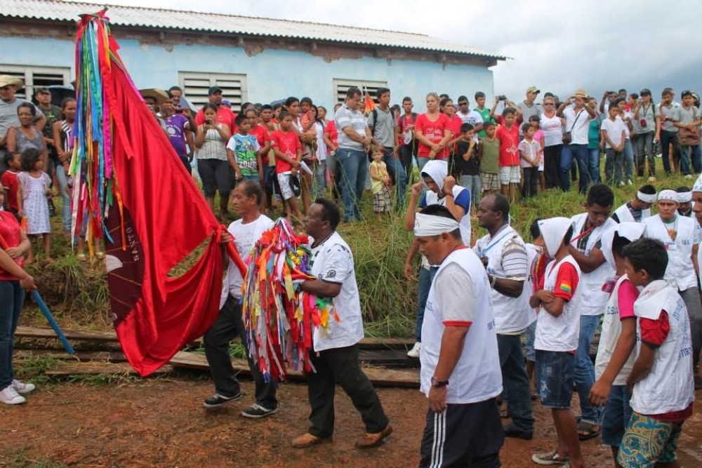
A resistência da comunidade quilombola do Forte Príncipe da Beira

Reports & Research
Julio, 2018
Brasil

A comunidade quilombola do Forte Príncipe da Beira fica no município de Costa Marques, Estado de Rondônia/Brasil. Abrange a extensão de 20.108,8709 hectares em plena região amazônica. Forma parte desses territórios chamados de “Negros do Guaporé” constituídos a partir de distintos processos de territorialização, desde o século XVIII na linha de fronteira entre Brasil e Bolívia...

What’s (Not) on the Map: Landscape Features from Participatory Sketch Mapping Differ from Local Categories Used in Language

Peer-reviewed publication
Noviembre, 2017
Global

Participatory mapping of local land use as the basis for planning and decision-making has become widespread around the globe. However, still relatively little is known about the conceptual underpinnings of geographic information produced through participatory mapping in given cultural and linguistic settings. In this paper, we therefore address the seemingly simple question of what is (not) represented on maps through an exploratory case study comparing land use categories participants represented on sketch maps with categories elicited through more language-focused ethnographic fieldwork.

Using Farmer Decision Rules for Mapping Historical Land Use Change Patterns from 1954 to 2007 in Rural Northwestern Vietnam

Peer-reviewed publication
Septiembre, 2019
Viet Nam

The present study revealed how local socioecological knowledge elucidated during participatory rural appraisals and historical remote sensing data can be combined for analyzing land use change patterns from 1954 to 2007 in northwestern Vietnam. The developed approach integrated farmer decision rules on cropping preferences and location, visual and supervised classification methods, and qualitative information obtained during various forms of participatory appraisals.

Farms or Forests? Understanding and Mapping Shifting Cultivation Using the Case Study of West Garo Hills, India

Peer-reviewed publication
Septiembre, 2019
India

Attempts to study shifting cultivation landscapes are fundamentally impeded by the difficulty in mapping and distinguishing shifting cultivation, settled farms and forests. There are foundational challenges in defining shifting cultivation and its constituent land-covers and land-uses, conceptualizing a suitable mapping framework, and identifying consequent methodological specifications.

THE LAND SECTOR NON-STATE ACTORS (LSNSA)

Journal Articles & Books
Septiembre, 2011
Kenya

kenya land alliance download :Memorandum On Continued Engagement With The Ministry Of Lands On Land Reforms Presented To: The Ministry Of Lands. The approval by the public of the Constitution at the referendum on August 4, 2010 and its promulgation on August 27, 2010 heralded a new dawn of governance in Kenya. Through its broad provisions, it is expected that it will spur social and economic development and secure the land rights of all Kenyans, by among others guaranteeing them ownership, control and access to natural resources.

Unjust-Enrichment-Volume 2

Journal Articles & Books
Diciembre, 2007
Kenya

The figures of public resources estimated to have been channeled into private pockets are so high one hopes, obviously against hope, that they would turn out to be typographical errors. The figures of public resources estimated to have been channeled into private pockets are so high one hopes, obviously against hope, that they would turn out to be typographical errors.