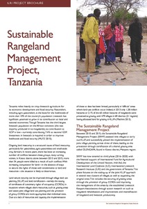
Sustainable Rangeland Management Project, Tanzania
Février, 2017
Tanzania
Afrique
Afrique orientale
Afrique australe
AGROVOC URI:

Crop growth models play a major role in sustaining the world-wide food security. These models are used to simulate crop growth during the growing season, and the final crop yield at the end of the growing season, given the farmers’ management practices. At a more strategic level, these crop growth models play an important role to decision makers to take timely decisions regarding food import and/or export strategies. The simulation accuracy of crop growth models relies on the quality of the input data.
The Challenge of Integrated Water Resource Management for Improved Rural Livelihoods:
Managing Risk, Mitigating Drought and Improving Water Productivity in the Water Scarce Limpopo
Basin: Integrated Water Resources Management (IWRM) is a systems approach to water
management, based on the principle of managing the full water cycle. It is required, not only to
balance water for food and nature, but also to unlock paths to sustainable development. A global
hotspot area in terms of water for food and improved livelihoods is in the poverty stricken rural

Describes the organization, objectives and results of the aerial survey programme of the Kenyan Rangeland Ecological Monitoring Unit from 1976 to 1979, with particular reference to the methodology used, animal population estimates, esp. herbivores, and reliability of aerial survey data in terms of aerial, ground & remote sensing counts.