Aller au contenu principal

page search

Displaying 85 - 96 of 113

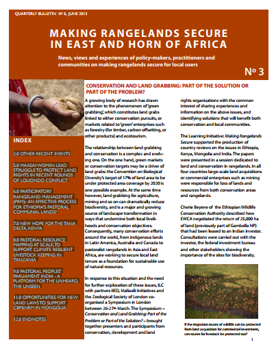
CONSERVATION AND LAND GRABBING: PART OF THE SOLUTION OR PART OF THE PROBLEM?

Policy Papers & Briefs
Mai, 2013
Afrique

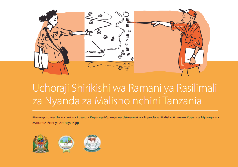
2.0 OTHER RECENT EVENTS 5.0 MAASAI WOMEN LEAD STRUGGLE TO PROTECT LAND RIGHTS IN RECENT ROUNDS OF LOLIONDO CONFLICT 6.0 PARTICIPATORY RANGELAND MANAGEMENT (PRM): AN EFFECTIVE PROCESS FOR ETHIOPIA’S PASTORAL COMMUNAL LANDS? 7.0 NEW HOPE FOR THE TANA DELTA, KENYA 8.0 PASTORAL RESOURCE MAPPING AT SCALE,TO SUPPORT CLIMATE RESILIENT LIVESTOCK KEEPING IN TANZANIA 9.0 PASTORAL PEOPLES’ PARLIAMENT INDIA - A PLATFORM FOR THE UNHEARD, THE UNSEEN 11.0 OPPORTUNITIES FOR NEW LAND LAWS TO SUPPORT CBP&NRM IN MONGOLIA 12.0 ENDNOTES

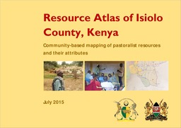
Resource Atlas of Isiolo County, Kenya: Community-based mapping of pastoralist resources and their attributes

Reports & Research
Juin, 2015
Kenya

Participatory digital mapping using satellite imagery and digital earth and other open source Geographic Information Systems (GIS) is a practical tool bridging the knowledge and communication gap between pastoral communities and county government planners. It is offering an effective option for participatory planning and decision-making in support of climate change adaptation in the drylands of Kenya.


Mapping Guidelines for Participatory Rangeland Management in Pastoral and Agro-Pastoral Areas

Manuals & Guidelines
Janvier, 2015
Global

The purpose of these Mapping Guidelines is to support development practitioners (individuals and organizations) working in the rangelands and sub-humid grasslands of Ethiopia. Specifically, resource mapping can assist with investigating rangeland management systems, negotiating rangeland management plans, and implementing and monitoring progress in Participatory Rangeland Management (PRM). The Mapping Guidelines will provide rangeland management practitioners with a tool to help establish PRM within community, district, zone and regional rangeland management offices across Ethiopia.

Mapping of pastoral corridors: practices and politics in eastern Senegal

Journal Articles & Books
Septembre, 2014
Sénégal

The delineation and protection of transhumance corridors are increasingly seen as critical to maintaining livestock mobility in agropastoral areas of West Africa by allowing passage through areas of increasing cropping pressure. Understanding the local politics surrounding the mapping and protection of transhumance corridors is important for policy formulation. This study reports the findings of group meetings in nine local districts (communautés rurales) in eastern Senegal about recently mapped corridors.

Putting Community and Rights on the Map in Southern Kenya

Reports & Research
Mars, 2018
Kenya

Throughout 2017, Spatial Collective applied new technologies to the data capture element of land registration in order to test whether affordable tools for documentation of land exist, whether these tools can reach the accuracy standards required by the state, and whether communities can replicate the work of a professional surveyorTo do this, our research looked into the land demarcation process, determined whether new technologies were of quality and met national standards, and gauged the most cost-effective tools which are widely accessible to local c

The Necessity for Open Data on land and property rights

Policy Papers & Briefs
Mars, 2018
Global

Data and information on land are fundamental for enabling smallholder farmers to gain secure access and control over their land, which provides the basis for investing in their operations.
This briefing paper outlines the importance and benefits of increasing the availability and accessibility of land information in support of improved food security and nutrition.

Land Change in the Greater Antilles between 2001 and 2010

Journal Articles & Books
Juillet, 2017
Jamaïque
Porto Rico
Cuba
Haïti
République dominicaine

Land change in the Greater Antilles differs markedly among countries because of varying socioeconomic histories and global influences. We assessed land change between 2001 and 2010 in municipalities (second administrative units) of Cuba, Dominican Republic, Haiti, Jamaica, and Puerto Rico. Our analysis used annual land-use/land-cover maps derived from MODIS satellite imagery to model linear change in woody vegetation, mixed-woody/plantations and agriculture/herbaceous vegetation. Using this approach, we focused on municipalities with significant change (p ? 0.05).

Cartografía de coberturas del suelo mediante Sensores Remotos, de la ciudad de Resistencia, Argentina (2013)

Journal Articles & Books
Mars, 2017
Argentine

Los Sensores Remotos se han convertido en los últimos tiempos en una herramienta importante para la planificación territorial, debido a la originalidad metodológica con la cual operan y el amplio espectro de observación de la superficie terrestre. El número de algoritmos disponibles en la literatura científica, permiten tratar individualmente muchas de las coberturas terrestres y caracterizarlas en base a su comportamiento espectral. En el presente trabajo se han aplicado dos métodos de clasificación de imágenes: árboles de decisión o reglas y clasificación no supervisada.