Passar para o conteúdo principal

page search

Displaying 1 - 4 of 4

2022 Desertification and Drought Day

17 Junho 2022
Spain

Drought, with a focus on early action to prevent disastrous outcomes, is the theme of the Desertification and Drought Day marked on 17 June 2022. The global observance of the event will take place in Madrid, Spain, the United Nations Convention to Combat Desertification (UNCCD) has announced.

United Nations Convention to Combat Desertification

International conference: Forestry science for sustainable development

29 Setembro 2022 - 30 Setembro 2022

To mark the thirtieth anniversary of the Faculty of Forestry, University of Banja Luka and 30 years of PFE "Šume Republike Srpske" ad Sokolac, with the support of the Food and Agriculture Organization of the United Nations and The International Union for Conservation of Nature , is organizing an international scientific conference FORS²D under the theme ""Perspectives of forestry and related se

International Union for Conservation of Nature

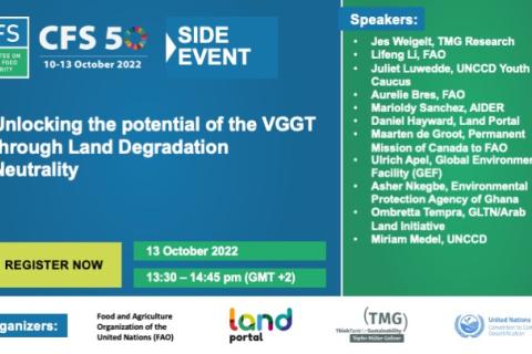
Desvendando o potencial do VGGT através da Neutralidade da Degradação da Terra

13 Outubro 2022
Virtual
Italy

Este evento lançará o guia técnico sobre a integração das Diretrizes Voluntárias sobre a Governança Responsável da Propriedade da Terra, Pesca e Floresta no contexto da Segurança Alimentar Nacional (VGGT - sigla em inglês) na neutralidade da degradação da terra (LDN - sigla em inglês) em todos os 6 idiomas da ONU, produzido conjuntamente pela UNCCD e FAO.

Food and Agriculture Organization of the United Nations (FAO)
Land Portal Foundation
United Nations Convention to Combat Desertification
TMG-ThinkTank for Sustainability

Application of NASA SPoRT-Land Information System (SPoRT-LIS) Soil Moisture Data for Drought

16 Maio 2023 - 30 Maio 2023

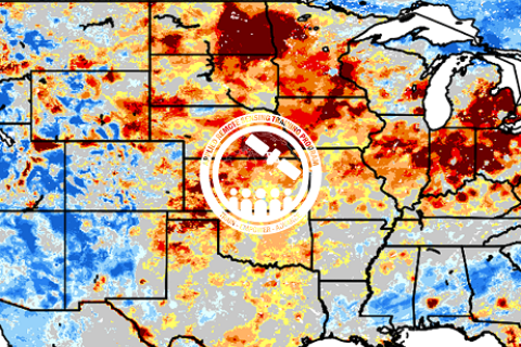
NASA’s Applied Remote Sensing Training Program (ARSET) has opened a new open, online webinar series: Application of NASA SPoRT-Land Information System (SPoRT-LIS) Soil Moisture Data for Drought. This 3-part webinar series is focused on the introduction of the NASA Land Information System (LIS) output of soil moisture at various depths for drought analysis and monitoring. Examples from operational applications as well as practice exercises (for using LIS data for drought monitoring) will be included in this course. Access to the SPoRT-LIS products via online viewer, in GIS formats, and GIS-based display tools, will also be included. Moreover, self-paced microlessons will be available to help users confirm their understanding and improve their skill via homework lessons between live sessions.