Passar para o conteúdo principal

page search

Issuescobertura do soloLandLibrary Resource
There are 2, 240 content items of different types and languages related to cobertura do solo on the Land Portal.

cobertura do solo

AGROVOC URI:

Displaying 73 - 84 of 1964

Linking Land Cover Data and Crop Yields for Mapping and Assessment of Pollination Services in Europe

Peer-reviewed publication
Setembro, 2013

Pollination is a key ecosystem service as many crops but in particular, fruits and vegetables are partially dependent on pollinating insects to produce food for human consumption. Here we assessed how pollination services are delivered at the European scale. We used this assessment to estimate the relative contribution of wild pollinators to crop production. We developed an index of relative pollination potential, which is defined as the relative potential or relative capacity of ecosystems to support crop pollination.

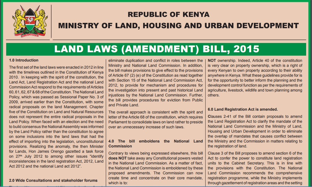
Land laws amendment bills: a practitioner’s perspective on the land bills

Journal Articles & Books
Agosto, 2014
Quênia

The first set of the land laws were enacted in 2012 in line with the timelines outlined in the Constitution of Kenya 2010. In keeping with the spirit of the constitution, the Land Act, Land Registration Act and the national Land Commission Act respond to the requirements of Articles 60, 61, 62, 67 & 68 of the Constitution. The National Land Policy, which was passed as Sessional Paper No. 3 of 2009, arrived earlier than the Constitution, with some radical proposals on the land Management.

NATIONAL LAND USE POLICY

Manuals & Guidelines
Abril, 2016
Quênia

The absence of a clearly defined land use policy in Kenya after years of independence has resulted in a haphazard approach to managing the different land use practices and policy responses. Land use continues to be addressed through many uncoordinated legal and policy frameworks that have done little to unravel the many issues that affect land use management. The Constitution of Kenya 2010, Kenya Vision 2030 and the Sessional Paper No. 3 of 2009 on National Land Policy all call for a clear framework for effectively addressing the challenges related to land use.

Global Agro-ecological Assessment for Agriculture in the 21st Century: Methodology and Results

Reports & Research
Dezembro, 2015
Global

Over the past 20 years, the term "agro-ecological zones methodology," or AEZ, has become widely used. However, it has been associated with a wide range of different activities that are often related yet quite different in scope and objectives. FAO and IIASA differentiate the AEZ methodology in the following activities:


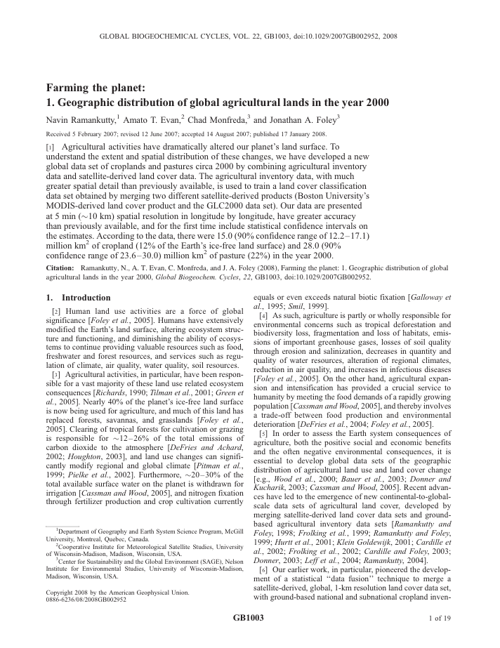
Farming the planet: 1. Geographic distribution of global agricultural lands in the year 2000

Peer-reviewed publication
Julho, 2008
Global

Agricultural activities have dramatically altered our planet's land surface. To understand the extent and spatial distribution of these changes, we have developed a new global data set of croplands and pastures circa 2000 by combining agricultural inventory data and satellite-derived land cover data. The agricultural inventory data, with much greater spatial detail than previously available, is used to train a land cover classification data set obtained by merging two different satellite-derived products (Boston University's MODIS-derived land cover product and the GLC2000 data set).

Effects of land cover, topography, and built structure on seasonal water quality at multiple spatial scales

Journal Articles & Books
Dezembro, 2012
Estados Unidos

The relationship among land cover, topography, built structure and stream water quality in the Portland Metro region of Oregon and Clark County, Washington areas, USA, is analyzed using ordinary least squares (OLS) and geographically weighted (GWR) multiple regression models. Two scales of analysis, a sectional watershed and a buffer, offered a local and a global investigation of the sources of stream pollutants. Model accuracy, measured by R² values, fluctuated according to the scale, season, and regression method used.

Patterns of coexistence between two mesocarnivores in northern Patagonia in the presence of invasive hares and anthropogenic disturbance

Journal Articles & Books
Dezembro, 2016
Argentina

We analysed coexistence patterns between two mesocarnivores, Geoffroy's cat (Leopardus geoffroyi: Felidae) and culpeo fox (Pseudalopex culpaeus: Canidae), in northern Patagonia, Argentina. We examined spatial distribution influenced by land cover, anthropogenic disturbance and invasive hare presence, and analysed temporal activity patterns and dietary composition. If competitive exclusion accounts for carnivore coexistence in this system, we predicted segregation would occur in one or more of these aspects as a mechanism for coexistence.

Determinants of the biogeographical distribution of butterflies in boreal regions

Journal Articles & Books
Dezembro, 2006
Finlândia

We explored the relative contributions of climatic and land-cover factors in explaining the distribution patterns of butterflies in a boreal region. Finland, northern Europe. Data from a national butterfly atlas survey carried out during 1991-2003, with a 10-km grain grid system, were used in these analyses. We used generalized additive models (GAM) and hierarchical partitioning (HP) to explore the main environmental correlates (climate and land-cover) of the realized niches of 98 butterfly species.

pattern of distribution and diversity of avifauna over an urbanizing tropical landscape

Journal Articles & Books
Dezembro, 2014
Quênia

An investigation was done to determine the occurrence and composition of avian fauna community in the urbanizing city of Nairobi, Kenya. We conducted bird counts in sample sites randomly distributed over the Nairobi landscape within a two-year period. The proportion of seven different land cover types derived from within a 500� m radius of classified satellite image described the habitat condition of each sample site.

spatial patterns of anthropogenic disturbance in the western Canadian boreal forest following oil and gas development

Journal Articles & Books
Dezembro, 2015
Canadá

Resource development can have significant consequences for the distribution of vegetation cover and for species persistence. Modelling changes to anthropogenic disturbance regimes over time can provide profound insights into the mechanisms that drive land cover change. We analyzed the spatial patterns of anthropogenic disturbance before and after a period of significant oil and gas extraction in two boreal forest subregions in Alberta, Canada.

Full polarimetric PALSAR-based land cover monitoring in Cambodia for implementation of REDD policies

Journal Articles & Books
Dezembro, 2013
Cambodja

Forest cover monitoring plays an important role in the implementation of climate change mitigation policies such as Kyoto protocol and Reducing Emissions from Deforestation and Forest Degradation (REDD). In this study, we have monitored land cover using the PALSAR (Phased Array type L-band Synthetic Aperture Radar) full polarimetric data based on incoherent target decomposition.