Passar para o conteúdo principal

page search

Displaying 1 - 7 of 7

III Congresso Iber-oamericano de Solo Urbano

23 Agosto 2017 - 25 Agosto 2017
Curitiba, Brasil
Curitiba
Brazil

Nos dias 23,24 e 25 de agosto do presente ano, levar-se-á a cabo o TERCEIRO CONGRESSO IBEROAMERICANO DE SOLO URBANO na cidade de Curitiba, Brasil, com o tema “O solo na nova agenda urbana”, organizado de maneira conjunta pelo Colégio Mexiquence AC, a Universidade Federal do Paraná, a Universidade Pontifícia Católica do Paraná e a Universidade Positivo.

III Simpósio Ibero-Afro-Americano de Riscos: “Riscos e Sociedade: Da apropriação do espaço à criação de territórios em riscos”

17 Junho 2019 - 20 Junho 2019
Universidade Federal da Uberlândia
Instituto de Geografia, Campus Santa Mônica
Uberlândia
Brazil
O acelerado movimento de produção e consumo, notadamente a partir da década de 1970 em todo o mundo, impôs sobre a sociedade contemporânea de todos os países, apropriações do espaço em dimensões cada vez maiores.

KOSMOS-Workshop: Post-conflict scenarios of land use in Colombia

25 Junho 2019
HU Geography Department -- Erwin Schrödinger-Zentrum, Raum 0'310
Rudower Chaussee 26
Berlin
Germany

Given the uncertainties generated after the peace agreements in Colombia, we believe that understanding and studying the most relevant transformation agents and potential socio-ecological pathways into the future is a key step to develop pro-active management strategies.

15º Congresso de Cadastro Multifinalitário e Gestão Territorial e 3º Encontro de Professores de Cadastro Territorial

07 Novembro 2022 - 09 Novembro 2022
Florianopolis
Brazil

Evento: 15º Congresso de Cadastro Multifinalitário e Gestão Territorial e 3º Encontro de Professores de Cadastro Territorial

Lema/Tema: "Popularização cadastral sob o modelo multifinalitário"

Data: De 7 a 9 de novembro de 2022

Local: Florianópolis, Santa Catarina - Brasil (Híbrido)

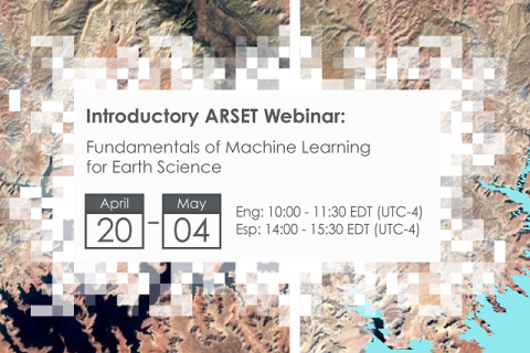
Fundamentals of Machine Learning for Earth Science

19 Abril 2023 - 03 Maio 2023

NASA’s Applied Remote Sensing Training Program (ARSET) has opened a new online introductory webinar series: Fundamentals of Machine Learning for Earth Science. This three-part training, presented in English and Spanish, is open to the public and will provide attendees an overview of machine learning in regards to Earth Science, and how to apply these algorithms and techniques to remote sensing data in a meaningful way. Attendees will also be provided with end-to-end case study examples for generating a simple random forest model for land cover classification from optical remote sensing. We will also present additional case studies to apply the presented workflows using additional NASA data.


Large Scale Applications of Machine Learning using Remote Sensing for Building Agriculture Solutions

04 Março 2024 - 18 Março 2024

NASA’s Applied Remote Sensing Training Program (ARSET) has opened a new open, online webinar series: Large Scale Applications of Machine Learning using Remote Sensing for Building Agriculture Solutions. Remote sensing data is becoming crucial to solve some of the most important environmental problems, especially pertaining to agricultural applications and food security. Participants will become familiar with data format and quality considerations, tools, and techniques to process remote sensing imagery at large scale from publicly available satellite sources, using cloud tools such as AWS S3, Databricks, and Parquet. Additionally, participants will learn how to analyze and train machine learning models for classification using this large source of data to solve environmental problems with a focus on agriculture.