Passar para o conteúdo principal

page search

Displaying 1 - 12 of 17

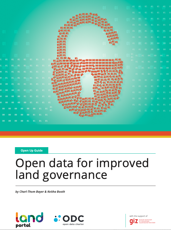
Open Up Guide for Land Governance, Version 2.0 (following public comments)

Manuals & Guidelines
Setembro, 2021
Global

The Open Up Guide on Land Governance is a resource  aimed to be used by governments from developing countries to collect and release land-related data to improve data quality, availability, accessibility and use for improved citizen engagement, decision making and innovation. It sets out:

  1. Key datasets for land management accountability, and how they should be collected, stored, shared and published for improving land governance and transparency;

Guide pour l’ouverture des donnees ouvertes pour une meilleure gouvernance fonciere

Manuals & Guidelines
Setembro, 2021
Global

Les Open Up Guides sont des outils pratiques développés par l’ODC et ses partenaires thématiques pour aider les gouvernements et d’autres acteurs à utiliser la publication d’ensembles de données stratégiques pour relever les principaux défis politiques. Ils s’appuient sur des preuves pratiques tout en recueillant des enseignements pour s’assurer que les normes mondiales sont applicables localement.

The State of Land Information in South Africa

Reports & Research
Outubro, 2020
Southern Africa

What is the state of land information in South Africa? Is there really a lack of land data to support decisions and to improve land governance? This was the point of departure that a team of specialists grappled with to uncover the many different sources of land data and information available in South Africa. For the very first time, they attempted to systematically review and categorize the entire ecosystem of data and information related to key land topics in the country, assessing over 104 land datasets from 59 different sources.

Creating a LandVoc Community of Experts

Conference Papers & Reports
Agosto, 2020
Global

This report provides a summary of a two-part online workshop in June 2020 to explore the creation of a community of experts to support the ongoing development of the LandVoc concept scheme, and to support ongoing contributions from the LandVoc community to AGROVOC. The workshops brought together 35 experts mprove awareness of the importance of controlled and multilingual vocabularies, and of value of semantics to management. of agriculture and land related knowledge.  

Webinar Report: Building a Land Information Ecosystem in India

Reports & Research
Janeiro, 2020
India

An information ecosystem is an extremely vast and cluttered space. What data exist? What data is up to date? What data is reliable? Who owns the data? Can I use the data without inflicting harm? Who are the data subjects? Many people across numerous sectors struggle with such questions and more. The land governance sector in India is no different. But somehow, it seems the land data ecosystem in India is more complex and controversial.

Measuring Individuals’ Rights to Land; An Integrated Approach to Data Collection for SDG Indicators 1.4.2 and 5.a.1

Reports & Research
Agosto, 2019
Global

Land is a key economic resource inextricably linked to access to, use of and control over other economic and productive resources. Recognition of this, and the increasing stress on land from the world’s growing population and changing climate, has driven demand for strengthening tenure security for all. This has created the need for a core set of land indicators that have national application and global comparability, which culminated in the inclusion of indicators 1.4.2 and 5.a.1 in the Sustainable Development Goals (SDGs) agenda.

Overcoming Land Data Silos : The role of data ecosystems in achieving global development goals

Policy Papers & Briefs
Dezembro, 2018
Global

When disasters displace people, land records and geospatial data are key to protecting property rights and building resilience.When land conflicts occur, it is clear that conciliation efforts would benefit from access to data and evidence. In order for marginalized peoples and communities to gain control of their rights, there is no doubt that data, information and knowledge are indispensable.

DEVELOPING LAND INFORMATION MANAGEMENT SYSTEM (LIMS) FOR COUNTY GOVERNMENTS IN KENYA: A CASE STUDY KIRINYAGA COUNTY.

Journal Articles & Books
Fevereiro, 2017
Quênia

This paper describes the development of a Land Information Management System (LIMS) for County Governments in Kenya. In the new Constitution 2010, devolution of some national government functions and formation of county governments was provided for. These invoked the development of new land laws to guide the devolution processes and procedures. According to the County Government Act 2012, all County Governments are supposed to develop digital Geographic Information System (GIS) based spatial plans and these calls for development of LIMS for and efficient breakthrough.

LAND REGISTRATION DATA STANDARDS, INTEROPERABILITY AND DATA ACCESS IN KENYA.

Journal Articles & Books
Fevereiro, 2017
Quênia

Land Registration and Administration in Kenya is currently operated on a multi-legal platform [UN 2013]. The Land Registration Act No. 3 of 2012 (LRA) was in that regard enacted to consolidate, harmonize and rationalize land registration goals; which are yet to be achieved. This is majorly because in as much as the 2012 statute repealed five out of the seven major land registration laws, they all remain in force under LRA’s transitional clauses. The Government of Kenya is making efforts to avail land registration information online via the e-citizen platform.

PREPARATION AND IMPLEMENTATION OF COUNTY SPATIAL PLANS

Manuals & Guidelines
Janeiro, 2017
Quênia

The Constitution of Kenya 2010 apportions responsibility of planning to both National and County governments. The County Government Act, 2012 obligates county governments to prepare and implement County Integrated Development Plans (CIDP). The CIDPs are, according to the act, five year plans that will form the basis of annual budgetary allocation by the county governments.

Linked Open Data and Land Governance

Institutional & promotional materials
Fevereiro, 2016

What is Linked Open Data?

Linked Open Data is a way of enriching, connecting, and linking data in structured, machine readable and standardized formats under open licenses. Linked Open Data enables the same content to be represented in multiple ways in different places simultaneously.

Advantages of Linked Open Data

Efficient use of resources
Linked Open Data reduces redundancy by building upon and the work of others rather than replicating existing systems.