Passar para o conteúdo principal

page search

Displaying 49 - 60 of 2087

Application of the BBN approach: Enhancing rangeland governance under constraining land tenure systems: case of South Tunisia

Institutional & promotional materials
Janeiro, 2020
Tunisia
Northern Africa

The presentation discusses the application of the Bayesian Belief Network (BBN) approach to enhance rangeland governance under constraining land tenure systems in the South of Tunisia.

Participatory rangeland management (PRM) being piloted in Kenya and Tanzania covering 246,773 ha of pastoralists' communal grazing lands, and upscaled in Ethiopia (Updated 2020)

Dezembro, 2019

Participatory rangeland management (PRM) was developed by ILRI and partners in Ethiopia, piloted and then upscaled. PRM improves the productivity of rangelands and access to resources for local rangelands users (communities). In 2018, the European Union invested Euro 1.5 million in the Piloting of PRM Project in Baringo County, Kenya and six shared grazing lands in Tanzania (targeting 450,000 pastoralists and agropastoralists). In 2020/21 PRM is being upscaled through a USD 30 million investment on 8.8 million hectares in Ethiopia.

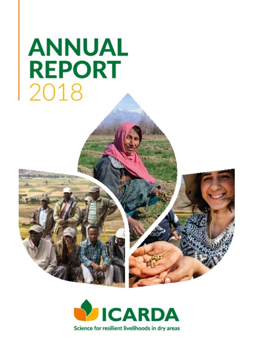
Annual Report 2018

Reports & Research
Setembro, 2019
Afghanistan
United Arab Emirates
Egypt
India
Jordan
Lebanon
Morocco
Oman
Pakistan
Sudan
Syrian Arab Republic
Tunisia
Turkey
Uzbekistan
Northern Africa
Southern Asia
Central Asia
Western Asia

ICARDA continued to play a critical role in the development, improvement, and dissemination of climate-resilient crop varieties last year. The varieties strengthened food and nutritional security and provided a critical defense against extreme temperatures, water scarcity, and the emergence of new pests and diseases.

Climate Change, Land and Resource Governance, and Violent Extremism: Spotlight on the African Sahel

Reports & Research
Abril, 2019
Algeria
Sudan
Western Sahara
Eritrea
Ethiopia
South Sudan
Cameroon
Central African Republic
Chad
Burkina Faso
Mali
Mauritania
Niger
Nigeria
Senegal

Tetra Tech’s land tenure and property rights experts examine how weak land and resource governance can fuel drivers of violent extremism. With a focus on the African Sahel, this new issue brief finds this dynamic is especially prevalent when land and resource governance challenges are coupled with environmental disruptions, resource scarcity, or migration.

Monitoring Effects of Land Cover Change on Biophysical Drivers in Rangelands Using Albedo

Peer-reviewed publication
Fevereiro, 2019
Global

This paper explores the relationship between land cover change and albedo, recognized as a regulating ecosystems service. Trends and relationships between land cover change and surface albedo were quantified to characterise catchment water and carbon fluxes, through respectively evapotranspiration (ET) and net primary production (NPP). Moderate resolution imaging spectroradiometer (MODIS) and Landsat satellite data were used to describe trends at catchment and land cover change trajectory level. Peak season albedo was computed to reduce seasonal effects.

Nutrient management in livestock systems in West Africa Sahel with emphasis on feed and grazing management

Journal Articles & Books
Dezembro, 2018
Algeria
Burkina Faso
Nigeria
Mauritania
Mali
Ethiopia
Eritrea
Cameroon
South Sudan
Central African Republic
Senegal
Chad
Niger
Sudan
Western Africa
Africa

Feed and grazing management affect both the quantity and quality of animal manure and consequently nutrient cycling in the mixed crop-livestock systems in West Africa Sahel. Dietary measures can significantly influence the composition of manure and hence it’s agricultural value. High nutrient feed will generally result in higher nutrient content of the manure whereas a decline in feed quality will generally lead to increase in the indigestible fractions in the feeds.

Anthropogenic biomes found in rangelands globally

Maps
Dezembro, 2018

This map shows global historic" Anthropogenic Biomes" of the world (as mapped by Ellis et al 2000) that exists within rangelands, selected classes are: Pastoral Villages, Residential Rangelands, Populated Rangelands and Remote Rangelands. The mapping of the rangelands is taken from rangeland types and boundaries previously mapped by University of Idaho and the Society for Rangeland Management (SRM). Country boundaries were taken from ESRI 2016.