Passar para o conteúdo principal

page search

Displaying 13 - 24 of 90

Diagnostic Tools Applied by ICARDA’s Germplasm Health Unit (GHU) for Detection of Pests and Diseases Transmitted via Legume and Cereal Seeds

Dezembro, 2022
Iraq

Seeds of cereals (wheat, barley) and legumes (faba bean, lentil, chickpea, grasspea) are important exchange materials for farming, crop production, and research at national, regional, and international levels, but with the exchanges comes the danger of introducing new pests (fungi, bacteria, viruses, nematodes, and insects). ICARDA’s Germplasm Health Unit (GHU) is responsible for the monitoring, clearance, and documentation of safe germplasm movement at the Center.

Enset production system diversity across the Southern Ethiopian Highlands

Dezembro, 2022
Global

Enset is a staple crop of the southern Ethiopian highlands. Small-holder farmers cultivate enset as part of mixed subsistence farming systems, in which enset provides substantial food security services. While its cultivation is unique to this region, enset production systems take on many forms, varying with environmental and agronomic conditions, crop diversity and (co-)staples produced, the importance of enset for the household, and socio-economic and cultural differences.

Leveling the playing field for inclusive territorial development: Going beyond technical solutions

Policy Papers & Briefs
Janeiro, 2022
Global

We begin this text by clarifying what we mean by territory. In our long journey, which began about twenty years ago while working on land and natural resources for the Food and Agriculture Organization of the United Nations (FAO), we understood territories as areas of continuous interaction between humans and nature. We could therefore consider the less anthropized territories (e.g. ecological reserves and pristine areas) as well as areas more affected and managed by humans which have reduced the flow of nature to a minimum (as witnessed in urban areas).

Zambia: Private Sector Investment In Security Of Land Tenure. From Piloting Using Technology To National Rollout

Dezembro, 2021
Zambia

ABSTRACT Context and background Zambia has grappled with implementing the land titling from 2017 when it started the piloting of the National Land Titling Programme through the seventh National Development Plan (2017-2021). The implementation started in 2017 with a small pilot project conducted in Lusaka City in areas called Madido and Kamwala.

Formalization Of Mining Rights In The East African Community; Cadastre Perspective On Artisanal Mining Rights

Dezembro, 2021
Uganda
South Sudan
Burundi
Kenya
Rwanda
France

Context and backgroundArtisanal mining has long been integral part of livelihood structure and economic systems of certain rural communities. Artisanal mining operates informally in developing countries coupled with social, environmental, and economic challenges. Formalization of artisanal mining is being adopted in many countries in order to tackle the challenges of artisanal mining.

Participatory land use planning in pastoral areas: IPSR Innovation Profile

Dezembro, 2021
Global

Participatory land use planning (PLUP) for pastoral areas overcomes many of the challenges of conventional land use planning including creating hard boundaries around villages or other administrative units, breaking up and limiting
or preventing access to shared grazing lands and water points. PLUP for pastoral areas aims to keep rangelands
and particularly grazing lands intact working across administrative boundaries through joint PLUP agreements strengthening reciprocal relations, collective tenure and good governance and resolving and preventing conflicts

Resilient Aquatic Food Systems Initiative Launch in Zambia: work package 5 Technologies Assessment

Dezembro, 2021
Zambia

The Resilient Aquatic Food Systems Initiatives (RAqFS) focuses on research-for development
to catalyze the scaling of transformative innovations, policies and approaches to support aquatic foods in delivering more sustainable and healthy diets and livelihoods within planetary boundaries by 2030. RAqFS works through five Work Packages bundled together to deliver socio-technical innovations and policy actions that deliver benefits to all five One CGIAR Impact Areas. Apart from WP1 (which includes

The April 2021 Kyrgyz-Tajik Border Dispute: Historical and Causal Context

Reports & Research
Junho, 2021
Kyrgyzstan
Tajikistan

In late April, 2021, deadly cross-border violence resulted in the deaths of 36 Kyrgyz and 19 Tajik citizens.1 To say that the Kyrgyz-Tajik border is complicated would be an understatement. The Soviet collapse in 1991 transformed internal and often overlooked administrative boundaries into suddenly salient and internationally recognized state borders. Villages, farmland, pasture, and infrastructure once shared with little afterthought during the Soviet period today straddle sovereign nations. Exclaves make cross-border travel, commerce, and politics even more complicated.

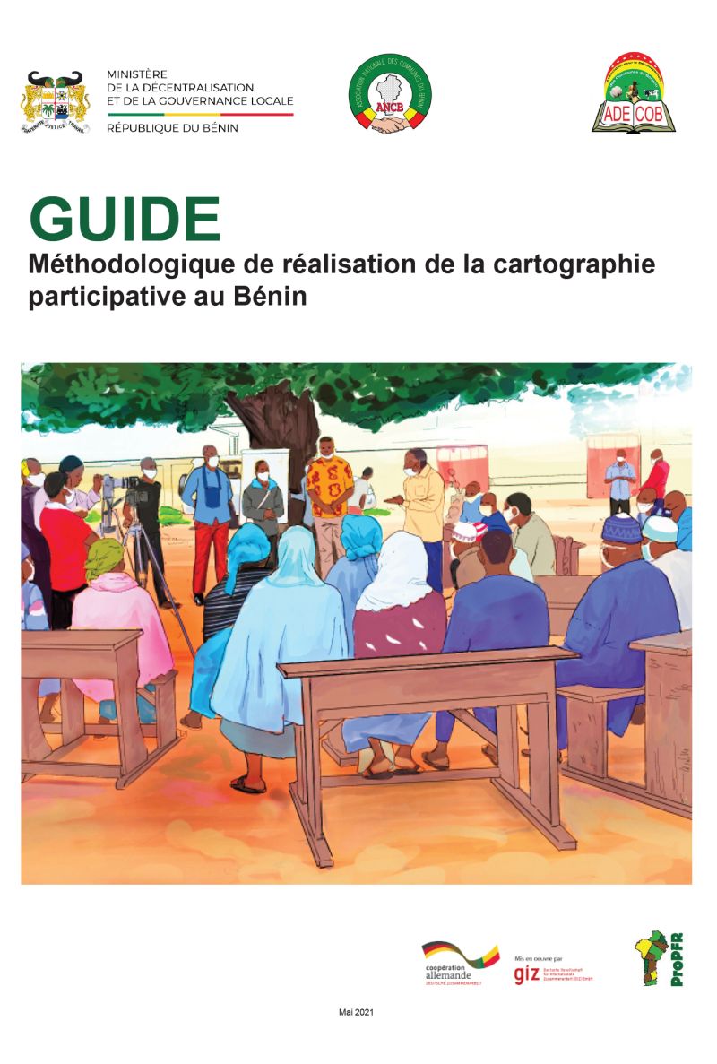
Guide Méthodologique de réalisation de la cartographie participative au Bénin

Manuals & Guidelines
Abril, 2021
Afrique sub-saharienne
Afrique occidentale
Bénin

Face aux enjeux liés à la gouvernance foncière, plusieurs initiatives de cartographie participative ont été menées, au Bénin et ailleurs en Afrique. Une initiative de ce type est d’autant plus indispensable au Bénin, sachant que les limites des villages n’ont pas encore de reconnaissance administrative. Comment tirer des enseignements de ces expériences, pour alimenter la méthodologie de réalisation des cartes participatives ? Une méthode de cartographie participative peut-elle être institutionnalisée ?

Identification of Property Boundaries Using an IFC-Based Cadastral Database

Peer-reviewed publication
Março, 2021
Argentina
Australia
Canada
Chile
United Kingdom
Mexico
Malta
Malaysia
Panama
Romania
Seychelles
Trinidad and Tobago
United States of America

Property boundaries have a significant importance in cadaster as they define the legal extent of the ownership rights. Among 3D data models, Industry Foundation Class (IFC) provides the potential capabilities for modelling property boundaries in a 3D environment. In some jurisdictions, such as Victoria, Australia, some property boundaries are assigned to the faces of building elements which are modelled as solids in IFC. In order to retrieve these property boundaries, boundary identification analysis should be performed, and faces of building elements should be extracted.