Focal point
Location
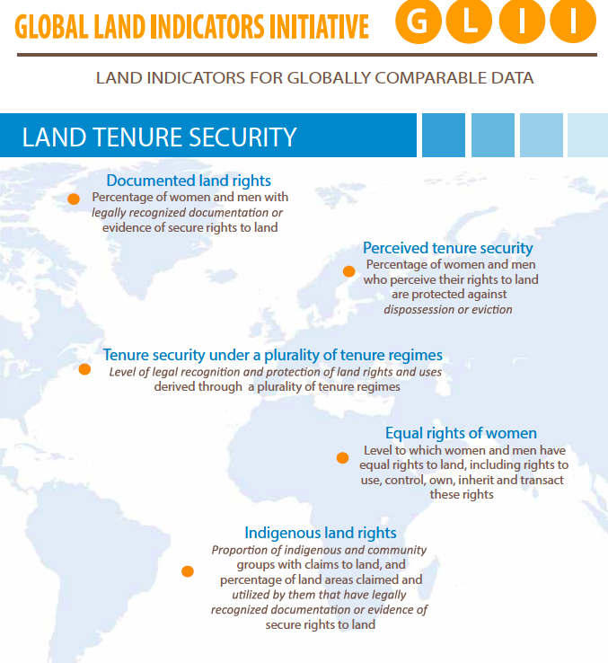
The Global Land Indicators Initiative is a collaborative and inclusive process for the development of the Global Land Indicators started by the Millennium Challenge Corporation (MCC), UN-Habitat and the World Bank (WB), facilitated by GLTN. This initiative has now grown to include over 30 institutions around the world ranging from UN Agencies, Inter-governmental Organizations, International Nongovernmental Organizations, Farmer Organizations and the Academia.
The Global Land Indicators Initiative (GLII) was established in 2012 with the aim to harmonize monitoring efforts around land tenure and governance. GLII seeks to derive a list of comparable and harmonized land indicators. To achieve this, GLII is exploring the range of monitoring mechanisms and data collection methods. The Initiative is supporting global and regional frameworks such as the Voluntary Guidelines on the Responsible Governance on Tenure of Land, Fisheries and Forests (VGGTs), agreed by 193 Member States and supported by civil society on the one hand, and the Framework and Guidelines (F&G) on land policy in Africa, a joint initiative of the African Union Commission, the African Development Bank and the United Nations Economic Commission for Africa on the other. GLII intends to foster partnership, inclusiveness, consultation, evidence-based indicators, people-centered approach and sustainability.
Members:
Resources
Displaying 1 - 5 of 5Land Indicators for Globally Comparable Data (GLII)
The need to step up monitoring of land governance issues drove the establishment of the Global Land Indicators Initiative (GLII) in 2012 by Millennium Challenge Corporation, the World Bank, and UN-Habitat. The platform is hosted and facilitated by Land and Global Land Tool Network Unit in UN-Habitat.
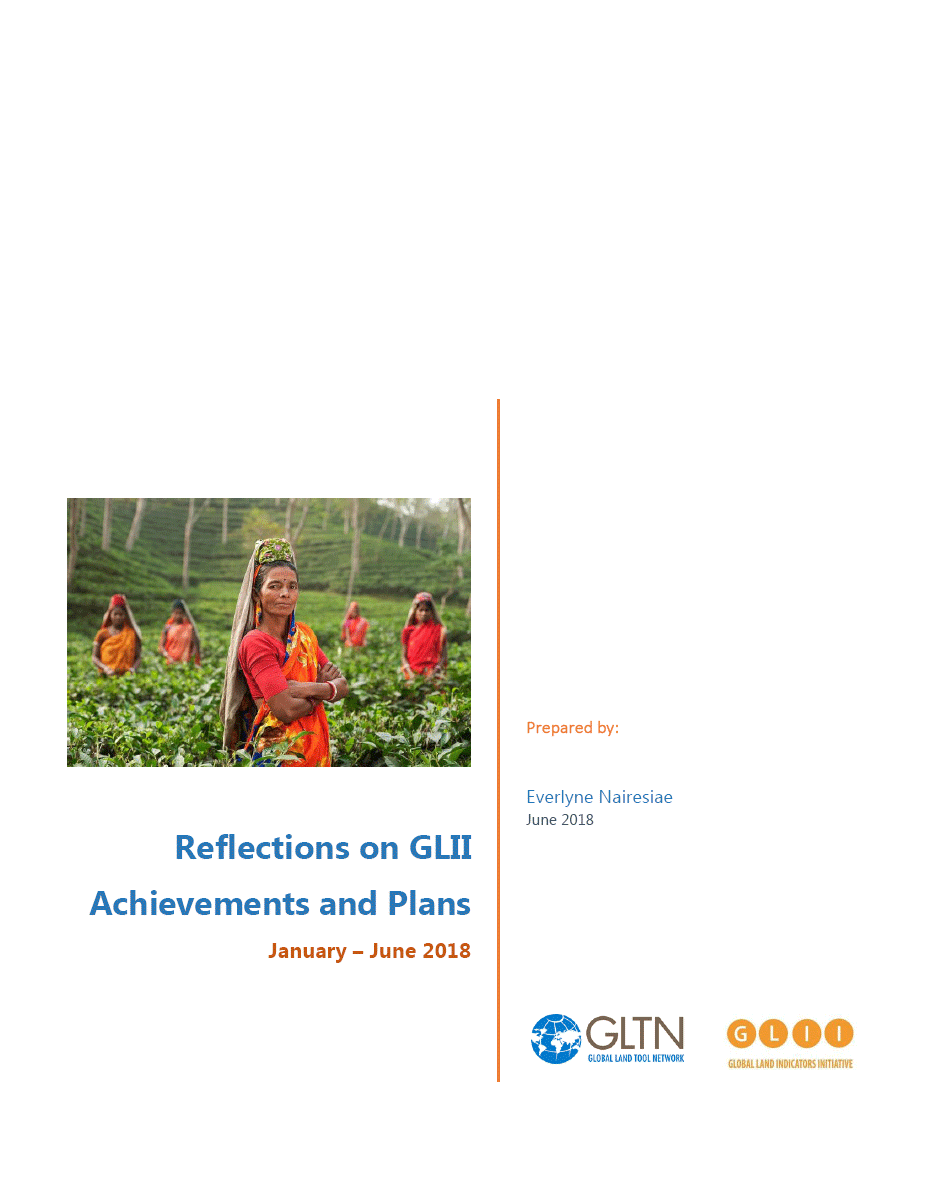
Reflections on GLII Achievements and Plans
Its June 2018, half a year down the line following the reclassification of several land indicators including 1.4.2 by the IAEG-SDGs in November 2017. To all of us, this milestone was defining and encouraging in our effort towards achieving monitoring of land governance issues at scale.
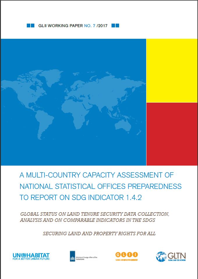
A Multi-Country Capacity Assessment of National Statistical Offices Preparedness to Report on SDG Indicator 1.4.2
This report presents the results of the multi-country assessment carried out in 17 countries across the world. The findings of this assessment is expected to directly inform the work of the co-custodian agencies for land Indicator 1.4.2 (UN-Habitat and World Bank) in formulating a coherent capacity development strategy for NSOs at country level, and strengthen their collaboration with land agencies for enhanced data infrastructure needed to regularly report on this indicator.
Expert Group Meeting: Securing Women's Land Rights In The SDGs Monitoring Framework
This Expert Group Meeting (EGM1 ) was convened with the purpose of examining land indicators in the Sustainable Development Goals (SDGs) and promoting meaningful and harmonised approaches to monitoring women’s land rights (WLR)2 . It was convened by the Global Land Indicators Initiative (GLII) of the GLTN, UN Habitat, and Oxfam with inputs and assistance from Landesa, UN Women and Huairou Commission as part of a process of work on the development of methodologies for the land related SDG indicator monitoring.
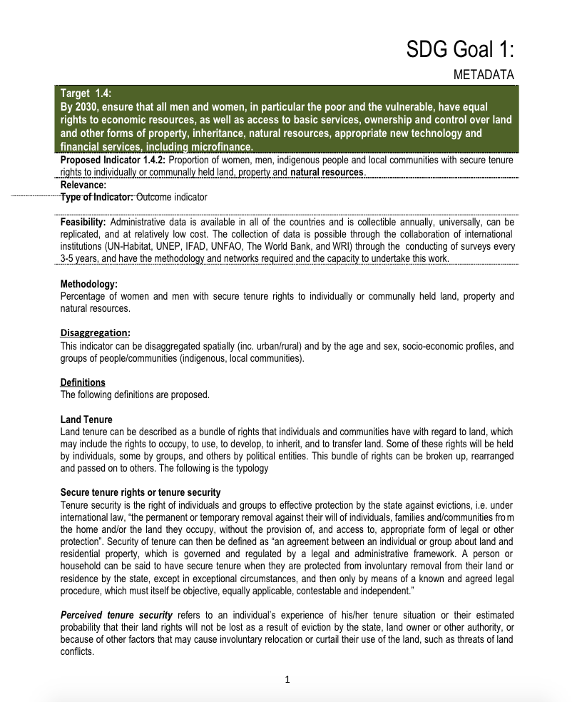
Global Land Indicator Initiative Metadata - SDG indicator 1.4.2.
Methodological supporting document for land indicator under SGD Goal 1, target 1.4.2


