Location
The World Agroforestry Centre (ICRAF) is a CGIAR Consortium Research Centre. ICRAF’s headquarters are in Nairobi, Kenya, with six regional offices located in Cameroon, China, India, Indonesia, Kenya and Peru.
The Centre’s vision is a rural transformation throughout the tropics as smallholder households increase their use of trees in agricultural landscapes to improve their food security, nutrition security, income, health, shelter, social cohesion, energy resources and environmental sustainability.
ICRAF's mission is to generate science-based knowledge about the diverse benefits - both direct and indirect - of agroforestry, or trees in farming systems and landscapes, and to disseminate this knowledge to develop policy options and promote policies and practices that improve livelihoods and benefit the environment.
The World Agroforestry Centre is guided by the broad development challenges pursued by the CGIAR. These include poverty alleviation that entails enhanced food security and health, improved productivity with lower environmental and social costs, and resilience in the face of climate change and other external shocks.
ICRAF's work also addresses many of the issues being tackled by the Sustainable Development Goals (SDGs) that aim to eradicate hunger, reduce poverty, provide affordable and clean energy, protect life on land and combat climate change.
Members:
Resources
Displaying 1 - 5 of 146L’approche Niches d’Innovation dans le projet ReSI-NoC
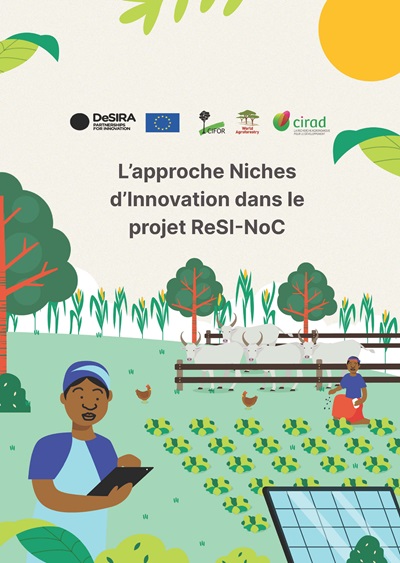
Au Nord Cameroun, plusieurs projets se sont succédés au fil du temps et ont promu des innovations techniques et technologiques contribuant au développement durable des systèmes agrosylvopastoraux. En parallèle, on constate régulièrement d’une part la duplicité des actions par les promoteurs de projet, et d’autre part le ralentissement ou l’arrêt des activités après la fin des projets.
Restauration des paysages forestiers et régimes fonciers au Cameroun : Acquis et handicaps
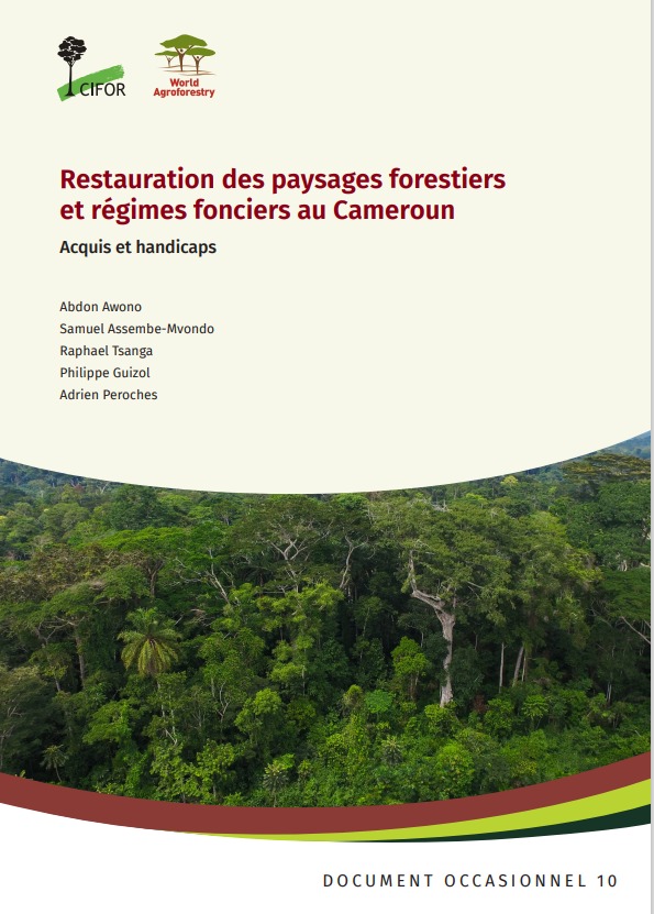
Ce papier constitue une synthèse des acquis et des handicaps de la restauration des paysages forestiers et régimes fonciers au Cameroun. Il présente par ailleurs les engagements du Cameroun pour ralentir la déforestation et la dégradation de ses écosystèmes forestiers à travers la stratégie nationale de restauration des paysages forestiers, en lien avec les initiatives du Défi de Bonn, de l’AFR100 et de la Grande Muraille Verte.
Analyse des archétypes des politiques et mesures forestières: Vers une nouvelle typologie

Les décideurs ont accès à une panoplie, vaste et de plus en plus fournie, de politiques et de mesures qui peuvent, en théorie, contribuer à réduire la déforestation et la dégradation des forêts. Des théories intermédiaires peuvent être formulées pour résumer les conditions dans lesquelles ces politiques et mesures forestières sont efficaces pour mettre fin à la déforestation et à la dégradation des forêts.
État du secteur forêt-bois en République Centrafricaine (2021)
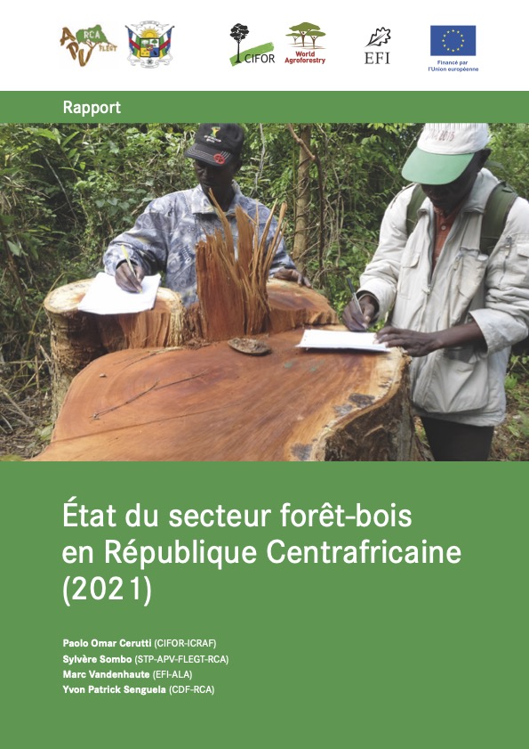
La République Centrafricaine dispose d’un massif forestier de 28 300 000 ha de forêts dont 5,4 millions ha de forêt dense humide, ce qui constitue un véritable trésor du puits de séquestration de carbone, mais aussi un habitat d’une grande variété d’espèces forestières, fauniques, halieutiques et génétiques. Ce massif joue un rôle économique, social et environnemental très important.
Etat des Forêts 2021
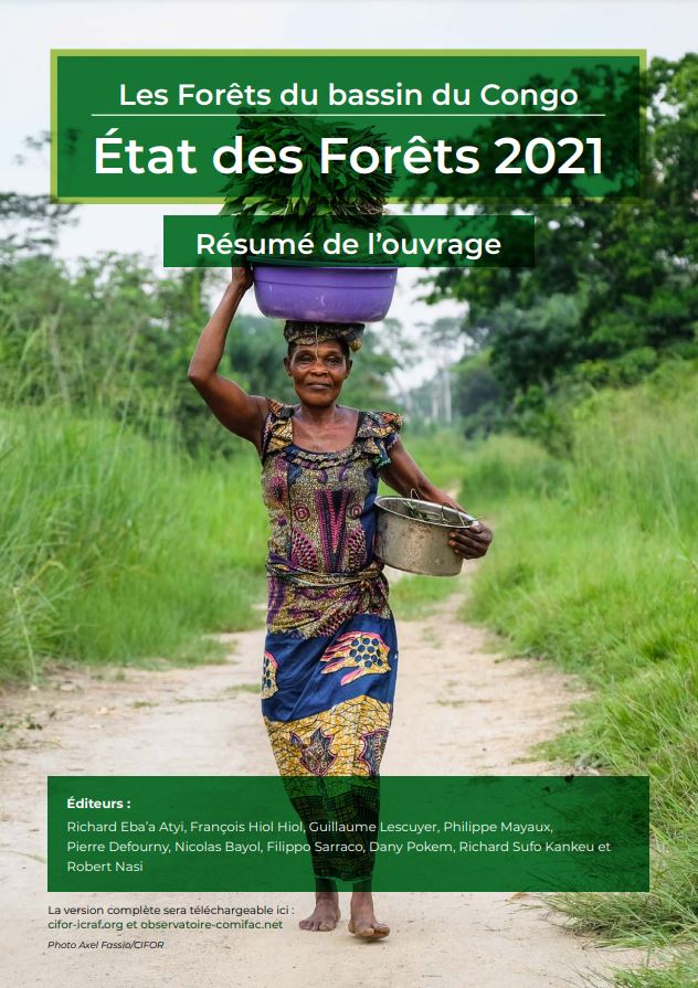
Ce 03 mai 2022, le résumé du rapport LES FORETS DU BASSIN DU CONGO - ETAT DES FORETS 2021 de l'OFAC a été présenté au XVème Congrès Forestier Mondial à Séoul.
Le rapport État des forêts 2021 (EDF 2021) est le septième de la série publiée depuis 2005. Le rapport précédent a été publié en 2015 lors de la quinzième Conférence des Parties de la Convention-cadre des Nations-Unies sur les changements climatiques (CCNUCC) tenue à Paris.