Passar para o conteúdo principal

page search

Issuescobertura do soloLandLibrary Resource
There are 2, 240 content items of different types and languages related to cobertura do solo on the Land Portal.

cobertura do solo

AGROVOC URI:

Displaying 1945 - 1956 of 1964

Land Sector Non State Actors-(LSNASA) Press-Petition

Institutional & promotional materials
Dezembro, 2015
Quênia

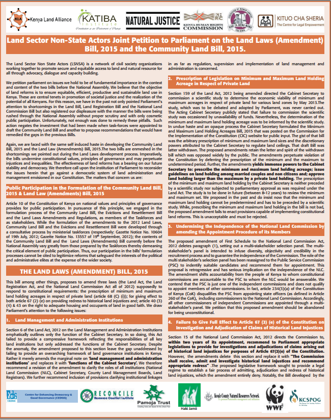
The Land Sector Non State Actors (LSNSA) is a network of civil society organizations working together to promote secure and equitable access to land and natural resource for all through advocacy, dialogue and capacity building. We petition parliament on issues we hold to be of fundamental importance in the context and content of the two bills before the National Assembly.

Land-Laws-Amendment-Bill-2015

Institutional & promotional materials
Outubro, 2015
Quênia

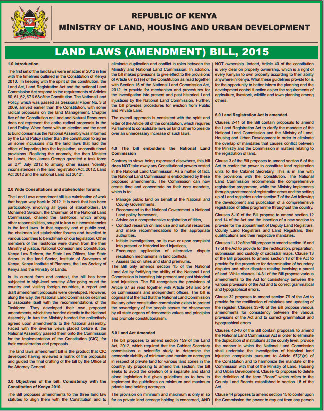
The first set of the land laws were enacted in 2012 in line with the timelines outlined in the Constitution of Kenya 2010. In keeping with the spirit of the constitution, the Land Act, Land Registration Act and the national Land Commission Act respond to the requirements of Articles 60, 61, 62, 67 & 68 of the Constitution.

A Survey into the Management and use of Wetlands in Kenya

Institutional & promotional materials
Março, 2006
Quênia

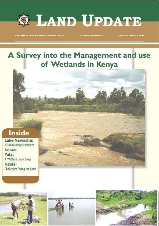
The Role Of Wetlands In Poverty Reduction- Extreme poverty among rural poor people living around wetlands remains a daily reality for more than 56% of Kenya’s population, who subsist on less than one dollar a day. Seventy percent of extremely poor households, a majority of who live in rural areas where hunger and poverty prevails, are now being caught up in a new web of lack of access to wetlands as safety-net during hard times due to appropriation of wetlands by private developers.

Four Decades of Land-Cover Change on the Kenai Peninsula, Alaska: Detecting Disturbance-Influenced Vegetation Shifts Using Landsat Legacy Data

Peer-reviewed publication
Setembro, 2020
Global

Across Alaska’s Kenai Peninsula, disturbance events have removed large areas of forest over the last half century. Simultaneously, succession and landscape evolution have facilitated forest regrowth and expansion. Detecting forest loss within known pulse disturbance events is often straightforward given that reduction in tree cover is a readily detectable and measurable land-cover change. Land-cover change is more difficult to quantify when disturbance events are unknown, remote, or environmental response is slow in relation to human observation.

Modelling Land Cover Changes in Peri-Urban Areas: A Case Study of George Town Conurbation, Malaysia

Peer-reviewed publication
Setembro, 2020
Ásia Oriental
Malásia

Drastic growth of urban populations has caused expansion of peri-urban areas—the transitional zone between a city and its hinterland. Although urbanisation may bring economic opportunities and improve infrastructure in an area, uncontrolled urban expansion towards peri-urban areas will negatively impact the environment and the community living within the area. Malaysia, for example, has become one of the most urbanised countries in East Asia. However, cities in Malaysia are relatively small and less densely populated compared with other cities in East Asia.

Land Use/Land Cover Changes and the Relationship with Land Surface Temperature Using Landsat and MODIS Imageries in Cameron Highlands, Malaysia

Peer-reviewed publication
Setembro, 2020
Estados Unidos
Malásia
Noruega

Mountainous regions are more sensitive to climatic condition changes and are susceptible to recent increases in temperature. Due to urbanization and land use/land cover (LULC) issues, Cameron Highlands has been impacted by rising land surface temperature (LST) variation. Thus, this study was carried out to explore the impact of the LULC change on LST in the Cameron Highlands from 2009 to 2019 using remote sensing images acquired from Landsat 7 ETM+, Landsat 8 Operational Land Imager (OLI/TIRS), and Moderate Resolution Imaging Spectroradiometer (MODIS) 11A Thermal sensors.

Exploring land use/land cover changes, drivers and their implications in contrasting agro-ecological environments of Ethiopia

Peer-reviewed publication
Agosto, 2019
Etiópia

This study examined the trends, driving factors, and implications of land use/land cover (LULC) dynamics over the past 35 years (1982–2017) in three watersheds of the drought-prone areas that represent different agro-ecologies of Upper Blue Nile basin, Ethiopia: Guder (highland), Aba Gerima (midland), and Debatie (lowland). The changes in LULC were analyzed by integrating field observations, remote-sensing data (aerial photographs [1: 50,000 scale] and very high resolution [0.5–3.2 m] satellite images), and geographic information systems.

A classification to align social-ecological land systems research with policy in Europe

Peer-reviewed publication
Novembro, 2018
Europa

Both research and policy recognize land systems as fundamental to human life and activities. However, these two perspectives approach land from different ends and it can be difficult to see how studied variables contribute to broader policy goals. In this paper, we argue that there is a need to better select variables to study land systems as social-ecological systems, and to align research more with those policy goals.

A comparison of influences on the landscape of two social-ecological systems

Peer-reviewed publication
Novembro, 2016
Itália
Panamá

Case studies of social-ecological landscapes that consider local, spatially explicit land cover changes are necessary for the development of generalised knowledge on deforestation. This study focussed on two indigenous territories of eastern Panama that share the same settlement history, size and location but are perceived by local dwellers to differ in terms of land cover.

Assessing the relationship between land tenure issues and land cover changes around the Arabuko Sokoke Forest in Kenya

Peer-reviewed publication
Maio, 2020
Quênia
Noruega

Land as an essential resource is becoming increasingly scarce due to population growth. In the case of the Kenyan coast, population pressure causes land cover changes in the Arabuko Sokoke Forest, which is an important habitat for endangered species. Forest and bushland have been changed to agricultural land in order to provide livelihood for the rural population who are highly dependent on small-scale farming. Unclear land rights and misbalanced access to land cause uncontrolled expansion and insecure livelihoods.

Towards three decades of spatial development transformation in two contrasting post-Soviet cities—Kraków and Budapest

Peer-reviewed publication
Maio, 2019
Hungria
Estados Unidos

Urban structure, land use, and land cover analysis are among of the primary problems of urban planning. The paper analyses the structure of land cover in Kraków and Budapest, cities with similar past. The investigation involved 41 districts (18 districts in Kraków and 23 districts in Budapest). The authors attempted to apply a methodology to develop an approach to seek out similarities between the investigated units. Cluster analyses and GIS methods were employed to analyse land cover data provided by the European Environment Agency in the form of the Urban Atlas.

Local biophysical effects of land use and land cover change: towards an assessment tool for policy makers

Peer-reviewed publication
Janeiro, 2020
Noruega
Estados Unidos

Land use and land cover change (LULCC) affects the climate through both biogeochemical (BGC) and biophysical (BPH) mechanisms. While BGC effects are assessed at global scale and are at the heart of climate treaties such as the Paris Agreement, BPH effects are totally absent despite their increasingly recognized impact, especially at local scale. This stems from the complexity in characterizing their climate impacts both at local and global scale, which makes it impractical to offer clear advices for the development of climate policies.