Pasar al contenido principal

page search

There are 3, 553 content items of different types and languages related to Administración de tierras on the Land Portal.
Displaying 361 - 372 of 707

Land suitability analysis for agriculture in the Abbay basin using remote sensing, GIS and AHP techniques

Journal Articles & Books
Diciembre, 2016
Etiopía

To meet growing population demands for food and other agricultural commodities, agricultural land-use intensification and extensification seems to be increasing in the Abbay (Upper Blue Nile) basin in Ethiopia. However, the amount, location and degree of suitability of the basin for agriculture seem not well studied and/or documented. From global data sources, literature review and field investigation, a number of agricultural land suitability evaluation criteria were identified.

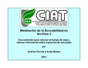
Modelación de la Accesibilidad en ArcView 3: Una extensión para calcular el tiempo de viaje y obtener información sobre captación de mercados

Manuals & Guidelines
Diciembre, 2001

CIAT programmed this simple and flexible GIS tool to automate the creation of accessibility surfaces. Previously, these surfaces were laboriously created, step-by-step, using ArcINFO software from the Environmental Systems Research Institute (ESRI). You can install the Accessibility Analyst if you have the ESRI ArcView 3 software and its ArcView Spatial Analyst. From this page, you can download the extension and documentation, see case studies of the extension at work, and follow up links with other people working in the same field.

Methods, results and policy implications of poverty and food security mapping assessments

Journal Articles & Books
Diciembre, 2005

The importance of poverty reduction to the world development agenda has motivated greater interest in the geographic dimensions of poverty and food security. This special issue of Food Policy includes examples of poverty and food security mapping used to support policy development in agricultural and rural areas. The volume includes eight country case studies and one cross-country comparison that illustrate advances in our capacity to assess welfare over large areas and at detailed spatial resolutions.