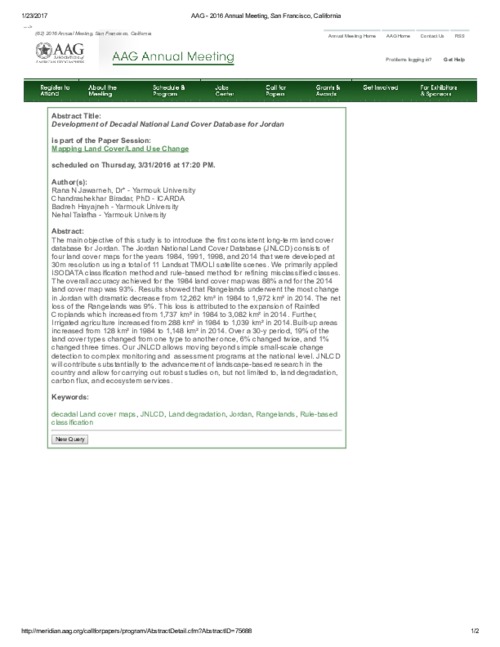
Development of Decadal National Land Cover Database for Jordan
Conference Papers & Reports
February, 2016
Western Asia
Jordan
The main objective of this study is to introduce the first consistent long term land cover database for Jordan. The Jordan National Land Cover Database (JNLCD) consists of four land cover maps for the years 1984, 1991, 1998, and 2014 that were developed at 30m resolution using a total of 11 Landsat TM/OLI satellite scenes. We primarily applied ISO DATA classification method and rule based method for refining misclassified classes. The overall accuracy achieved for the 1984 land cover map was 88% and for the 2014 land cover map was 93%.