<em> La sixième édition du Rapport 2021 sur l'écart entre les besoins et les perspectives en matière d'adaptation aux changements climatiques : la tempête qui se lève, examine comment le monde s'adapte à ces impacts croissants.</em>
Le rapport constate qu'il…

Définir les termes « forêt », « déforestation » et « dégradation des forêts », est un préalable incontournable dans la conception et la mise en œuvre de toute stratégie visant à éliminer la déforestation importée. Cette définition doit s’adapter à la diversité des contextes écologiques…
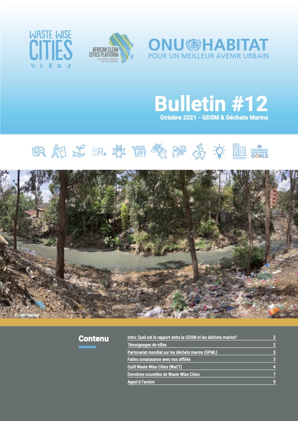
Les déchets marins constituent une grave menace pour les océans, la faune et la flore sauvages ainsi que pour la santé humaine. Plus de 800 espèces de vie marine souffrent de ses effets néfastes tels que le blocage de la digestion et l’enchevêtrement. Les déchets marins peuvent également…
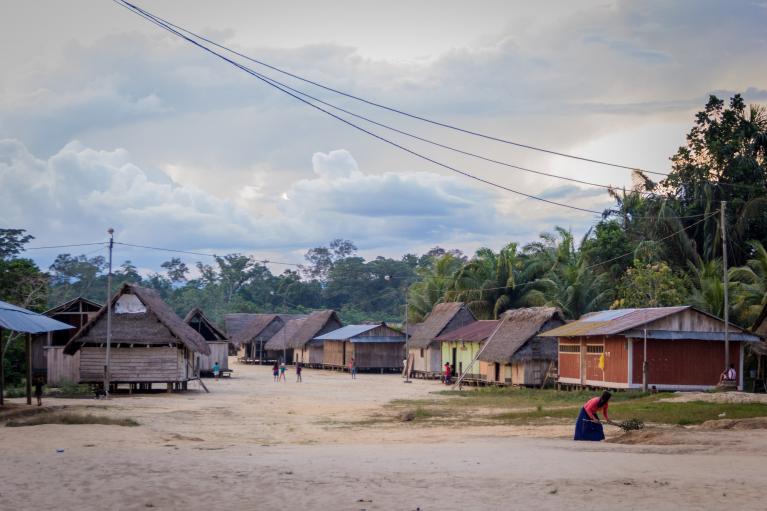
La résilience climatique mondiale est une question de vie ou de mort. Dans les paysages forestiers, 1,3 milliard de petits exploitants agricoles, de communautés et de peuples autochtones doivent organiser leur résilience climatique pour survivre. Du fait qu’ils sont coresponsables de la gestion …
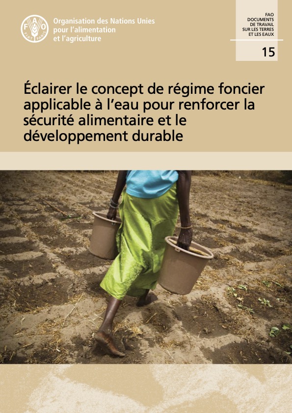
Afin de mieux comprendre le rôle que joue la sécurité du régime foncier applicable à l’eau dans la garantie de moyens d’existence durables, dans une gouvernance juste des ressources, dans la protection de l’environnement et dans le développement économique durable, l’Organisation des…

Au cours des trente dernières années, un nombre croissant d'États ont adopté de bonnes lois qui renforcent considérablement les droits fonciers de leurs citoyens. Cependant, en raison de multiples obstacles, un pourcentage élevé de citoyens de nombreux pays ignorent leurs droits légaux ou…

Les droits fonciers et les droits du travail peuvent se croiser de multiples façons. Les investissements dans les plantations à grande échelle impliquent souvent des compromis entre la création d'emplois et la limitation des droits fonciers. De même, les relations de travail peuvent…

Cette publication vise à fournir des conseils techniques sur l'intégration des forêts, de l'agroforesterie et des arbres dans la formulation et l'implémentation des Plans d'Adaptation Nationaux. Elle a le but d'informer les représentants et les agents gouvernementaux,…
This guide is intended to supplement other resources that provide broader overviews of human rights due diligence. It will be particularly helpful for downstream businesses or investors as they navigate how to identify, address, and track the impacts of their value chains on indigenous peoples.…
Ce rapport met en lumière les principaux risques et tendances relatifs aux ressources en terres, en sols et en eau et présente les moyens par lesquels nous pourrons résoudre les problèmes de concurrence entre utilisateurs et produire les multiples avantages souhaitables pour les populations et l…
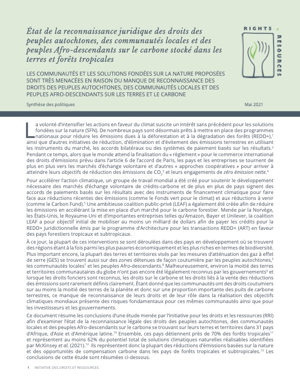
L’étude a analysé dans 31 pays l’état de la reconnaissance juridique des droits des peuples autochtones, des communautés locales et des populations afro-descendantes sur le carbone présent sur leurs terres et territoires. Ensemble, ces pays détiennent près de 70 % des forêts tropicales du globe…

Les ressources côtières, y compris les poissons, les minéraux et l'énergie, sont essentielles pour les personnes, la nature et l'économie, et sont au cœur de l'agenda émergent de l'économie bleue durable. Il est reconnu depuis longtemps qu'un défi particulier dans les…