

Since Turkey has been complimented as one of the gene centers of the world, the biological diversity of Turkey has to be preserved to be be used when necessary. Biological diversity indicates the economical and genetical wealth, and it ensures important benefits in medicine, agriculture industry…
Distiribution of erosion and its grade exited by climatic and topographic conditions was carried out depending on slope in Coruh watershed. Data necessary for determining of violence and grade of erosion having importance for relation between soil and plant were obtained from Erzurum province…
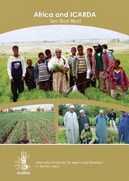
ICARDA has long-standing outreach programs in North Africa, the Nile Valley, and the Red Sea region (Fig 2). In its current strategic plan, the Center will extend its work to the drylands of Sub-Saharan Africa.
The aim of this research was to determine physical land evaluation of hazelnut areas of Ordu-Unye and its vicinity. The study area, is located between west of Ordu and south of Samsun provinces, at coordinates 4542500-4537500 km N and 342500-347500 km E (UTM), covers approximately 31.5 km2. The…
Recognition and understanding of landscape dynamics as a historical legacy of disturbances are necessary for sustainable management of forest ecosystems. This study analyzes spatial and temporal changes in land use and forest cover patterns in a typical mountain forest area in Rize Forest…
This study assessed land cover (LC) changes in Kahramanmaraş (K.Maraş) and its environs by using multitemporal Landsat and ASTER imagery, respectively belong to 1989, 2000 and 2004. A priori defined nine land cover classes in the classification scheme were urban and built-up, forest, sparsely…
This study aimed determining the effectiveness of active green space opportunities (parks, children's gardens, sport and playgrounds) in the Upper Northwest Urban Development Area of Adana. Existing active green spaces were obtained as green space values per capita and indexed at the…
The soils of the Yıldız Mountain, namely Entisols, Mollisols, Inceptisols, Ultisols, and Spodosols, from Poyralı, Yeniceköy, Demirköy and northwest of Igneada that were developed on calcareous sandy sediments, chlorite schists, Pliocene sediments and alluvial materials were studied in this paper…
Changes in hydrological cycle have been experienced as the result of the global climate change which may have caused undetermined increase or decrease in the location and reserve of water resources which are already undetermined in various parts of the world.
Küresel iklim değişikliği…
Using remote sensing and geographical information system (GIS), the detection of land cover/landuse (LC/LU) spaceies and monitoring changes in particular periods are made easily and economically. CORINE classification was developed in 1985 by countries of the Europeon Union to establish a good…
Land cover of the Earth is changing dramatically because of human activities. Information about changes is useful for management of natural resources. Rapid land cover changes have taken place in many coastal areas of Turkey over the last two decades due to urbanization and land degradation. In…
The AQUASTAT Programme was initiated with a view to presenting a comprehensive picture of water resources and irrigation in the countries of Africa, Asia, Latin America and the Caribbean and providing systematic, up-to-date and reliable information on water for agriculture and rural…