There are 3, 553 content items of different types and languages related to administração de terras on the Land Portal.
administração de terras
AGROVOC URI:
Spatial decision support for selecting tropical crops and forages in uncertain environments.Thesis (Ph.D.)

Journal Articles & Books
Dezembro, 2004
América Central
América do Sul
Spatial analysis of intraspecific diversity: a point-centred approach
Reports & Research
Dezembro, 1997
Spatial analysis of socio-economic issues: Gender and GIS in Nepal
Journal Articles & Books
Dezembro, 2003
Nepal
Ásia Meridional
Spatial patterns in socioeconomic data reveal issues and trends that would otherwise be missed by data aggregation to political or other units. Geographic Information System (GIS) tools provide display and analysis capabilities that are underutilized by many social scientists. The present article combines field-based surveys that maintain locational information with GIS tools to examine gender roles, responsibilities, and workloads in a spatial context for a case-study watershed in Nepal. Adult women outworked men by an average of 3.8 hours per day.
Spatial analysis of soil fertility management using integrated household and GIS data from smallholder Kenyan farms
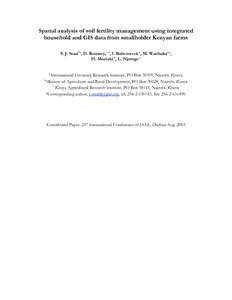
Conference Papers & Reports
Agosto, 2003
Quênia
África
África Oriental
Although soil fertility is recognized as a primary constraint to agricultural production in developing countries, use of fertilizer in Sub-Saharan Africa is declining. Smallholder farmers still rely heavily on livestock manure for soil fertility management. To explore the determinants of soil fertility management practices, including both the use of cattle manure and inorganic fertilizer, data are used from a sample of 3,330 geo-referenced farm households across Central and Western Kenya. A bivariate probit model is applied to jointly examine the use of the two technologies.
Target area identification using a GIS approach for the introduction of legume cover crops for soil productivity improvement : A case study eastern Uganda
Journal Articles & Books
Dezembro, 2007
Uganda
África Oriental
Amidst the economic backdrop of resource-poor farmers, combined research and extension efforts in developing countries have focused on developing and promoting potentially adaptable and economically acceptable agronomic technologies that suit farmers situations. Practices like improved fallows with woody and herbaceous legumes (e.g. Canavalia sp., Crotalaria sp.,Mucuna sp., Lablab sp., and Tephrosia sp.) are considered an appropriate approach to improving soil fertility management and an alternative to expensive, and often not available, inorganic fertilizers.
Technical implications of land monitoring projects using remote sensing data in Central America for natural resource management
Conference Papers & Reports
Dezembro, 2003
Nicarágua
América Central
América do Sul
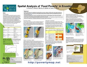
The GeoCitizen-approach: community-based spatial planning – an Ecuadorian case study
Journal Articles & Books
Março, 2014
Equador
América Central
América do Sul
Over the last years, geospatial web platforms, social media, and volunteered geographic information (VGI) have opened a window of opportunity for traditional Public Participatory GIS (PPGIS) to usher in a new era. Taking advantage of these technological achievements, this paper presents a new approach for a citizen-orientated framework of spatial planning that aims at integrating participatory community work into existing decision-making structures.
Towards wellbeing in forest communities: a source book for local government
Journal Articles & Books
Dezembro, 2007
Bolívia
Indonésia
Governments in many countries are decentralising to give more control over decision making and budgets to local administrations. One expectation of this change is that local governments will more effectively and efficiently respond to the poorest citizens in their jurisdictions. Decentralisation is especially significant to forest communities, which have historically benefited little from government services and poverty reduction programmes because of their physical isolation and social marginalisation.