page search

Issuesland coverLandLibrary Resource
There are 2, 240 content items of different types and languages related to land cover on the Land Portal.
Displaying 1981 - 1992 of 2218

Predicting Land Use Changes in Philadelphia Following Green Infrastructure Policies

Peer-reviewed publication
January, 2019
United States of America

Urbanization is a rapid global trend, leading to consequences such as urban heat islands and local flooding. Imminent climate change is predicted to intensify these consequences, forcing cities to rethink common infrastructure practices. One popular method of adaptation is green infrastructure implementation, which has been found to reduce local temperatures and alleviate excess runoff when installed effectively. As cities continue to change and adapt, land use/landcover modeling becomes an important tool for city officials in planning future land usage.

Improved drought detection to support crop insurance models: powerpoint

Conference Papers & Reports
May, 2018

Anomaly assessment for drought monitoring, as required for index insurance applications, is commonly done by comparing actual NDVI measurements against their historical records on a pixel-by-pixel basis. Limited years of satellite records with operational real-time availability result in time-series with a relative low count in annual repeats, e.g., the VEGETATION sensor onboard SPOT and Proba-V has completed at present only 19 full annual repeats. This number is too low for agricultural index insurance models that require accurate assessments of impacts of perils (e.g.

Principles and Applications of the Global Human Settlement Layer as Baseline for the Land Use Efficiency Indicator—SDG 11.3.1

Reports & Research
January, 2019
Global

The Global Human Settlement Layer (GHSL) produces new global spatial information, evidence-based analytics describing the human presence on the planet that is based mainly on two quantitative factors: (i) the spatial distribution (density) of built-up structures and (ii) the spatial distribution (density) of resident people. Both of the factors are observed in the long-term temporal domain and per unit area, in order to support the analysis of the trends and indicators for monitoring the implementation of the 2030 Development Agenda and the related thematic agreements.

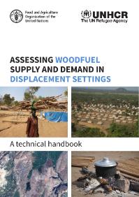
Assessing woodfuel supply and demand in displacement settings

Journal Articles & Books
December, 2015
Germany
France
Switzerland
United States of America
Japan
Botswana
Zimbabwe
Central African Republic
Tanzania
Syrian Arab Republic
Congo
South Sudan
Ethiopia
Italy
Mexico

This manual presents a methodology for assessing woodfuel supply and demand at the level of the displacement camp through the collection of primary data in the field and remote sensing analysis. The methodology uses a multi-sectoral approach to assess the energy-related needs and challenges of people in both displaced and host communities. The first part of the manual presents the methodology for assessing demand for woodfuel, which is structured around four sequential steps.

Reshaping the terrain: Forest landscape restoration in Uganda

Reports & Research
July, 2018
Uganda

The National Forestry Authority has monitored Uganda’s land cover, including forested areas, periodically since 1990. The land cover classification is comprised of 13 classes as shown in the table below. The first five classes in the table refer to the different types of forests in Uganda. The largest forest type is woodland. Compared to other landcover types, forests are a small proportion of the country area.

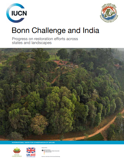
Bonn Challenge and India. Progress on restoration efforts across states and landscapes

Reports & Research
December, 2017
Global

The protection and revival of degraded and deforested land is the need of the hour. In order to tackle the issues that arise as a consequence of degradation and deforestation, principles of forest landscape restoration are being globally promoted. The Bonn Challenge is a global effort to bring 150 million hectares of deforested and degraded land into restoration by 2020 and 350 million hectares by 2030. The government of India made a Bonn Challenge pledge to bring under restoration 13 million hectares of degraded land by 2020 and an additional 8 million hectares by 2030.

Gender-responsive restoration guidelines

Reports & Research
December, 2016
Global

The Restoration Opportunities Assessment Methodology (ROAM)1 was developed by the International Union for Conservation of Nature (IUCN) and the World Resources Institute (WRI) to assist countries in identifying opportunities for forest landscape restoration (FLR), analysing priority areas at a national or sub-national level, and designing and implementing FLR interventions. FLR is the long-term process of regaining ecological functionality and enhancing human well-being across deforested or degraded forest landscapes.

Restoration of forest ecosystems and landscapes as contribution to the Aichi Biodiversity Targets

Reports & Research
October, 2016
Global

This document provides information on how implementing forest landscape restoration (FLR) at the jurisdictional and national level can offer countries a way to recover degraded forests and bring back key forest ecosystem functionalities in a way that will increase biodiversity levels in a landscape while contributing to achieving several Aichi Biodiversity Targets.