page search

Issuesland coverLandLibrary Resource
There are 2, 240 content items of different types and languages related to land cover on the Land Portal.
Displaying 1933 - 1944 of 2218

Land Use and Land Cover Changes and Their Effects on the Landscape of Abaya-Chamo Basin, Southern Ethiopia

Peer-reviewed publication

This study uses a combination of remote sensing data, field interviews and observations, and landscape indices to examine the dynamics of land use and land cover (LULC), identify their driving forces, and analyze their effects on the landscape of Abaya-Chamo Basin (ACB) between 1985, 1995, and 2010. The results reveal that the landscape of ACB has changed considerably during the past 25 years between 1985 and 2010. The main changes observed imply a rapid reduction in shrubland (28.82%) and natural grassland (33.13%), and an increase in arable land (59.15%).

Causes of informal settlements in Ekurhulen metropolitan municipality: An Exploration

Reports & Research
August, 2017
South Africa

This article aims to explore the causes of informal settlements in Ekurhuleni Metropolitan Municipality (EMM). The article strongly challenges the view that the cause of informal settlements in EMM and other parts of South Africa is predominantly the apartheid government and agrees with literature which provides evidence that to a larger extent, the present government, not the apartheid government, is one of the dominant causes of informal settlements.

Draft policy document on the preservartion and developemnt of agricultural land

Legislation & Policies
September, 2015
South Africa

The preservation, development and sustainable use of agricultural land are of vital importance to ensure long-term food security. On a global level, food security is closely linked to Goal 1 of the Millennium Development Goals, namely to eradicate extreme poverty and hunger by, amongst others, halving, between 1990 and 2015, the proportion of people who suffer from hunger.

Expropriation Bill [B4-2015]: public hearings with Deputy Minister in attendance Day 2

Legislation & Policies
July, 2015
South Africa

Agri SA supported orderly land reform – equitable land distribution is a prerequisite for rural stability and inclusive rural development. Agri-SA believed that expropriation should only be used as a last resort where negotiations fail. There needed to be a clear purpose for expropriation. Compensation should never be dependent on the state’s ability to pay. The land owner should always be afforded recourse to the courts to contest both the merits of the expropriation and the compensation amount.

Department of Rural Development and Land Reform; Ingonyama Trust; Commission on Restitution of Land Rights on their 2014/15 Annual Reports; Audit outcomes by Auditor-General

Legislation & Policies
October, 2015
South Africa

A representative of the Auditor-General South Africa (AGSA) briefed the Committee on the audit outcomes and expenditure patters in the rural development portfolio for the 2014/2015 financial year. The quality of submitted financial statements for the Agricultural Land Holding Account (ALHA) was good but needed improvement. The quality of submitted performance reports for Ingonyama Trust Board (ITB) was good but required intervention from the Department of Rural Development and Land Reform (DRDLR or the Department).

Effects of land use change on streamflow and stream water quality of a coastal catchment

Reports & Research
January, 2017
South Africa

This study aimed to link land cover/use change to water quality in an important water supply coastal catchment. The approach followed a spatial and temporal analysis of historical catchment land use change to assess how changes influenced water quality and river flow in the Touws and Duiwe Rivers, southwestern Cape, South Africa. Each sub-catchment has unique characteristics which influence land use and water quality and the purpose was to analyse each one separately.

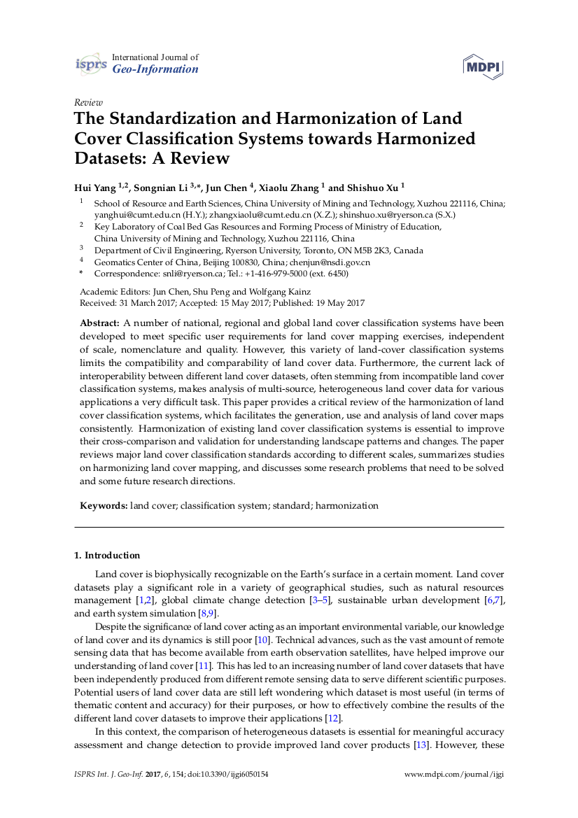
The Standardization and Harmonization of Land Cover Classification Systems towards Harmonized Datasets: A Review

Peer-reviewed publication
April, 2017
Global

A number of national, regional and global land cover classification systems have been developed to meet specific user requirements for land cover mapping exercises, independent of scale, nomenclature and quality. However, this variety of land-cover classification systems limits the compatibility and comparability of land cover data.

Salween River

Reports & Research
Myanmar

The Salween River originates in the eastern highlands of the Tibetan Plateau and flows through valleys that are at first steep and narrow, then increasingly broad as the river approaches the tropical lowlands. Eventually it enters the Andaman Sea in eastern Myanmar.

The 2815 km long Salween river runs parallel to the mighty Mekong River for much of its course and forms part of the border between Myanmar and Thailand. When it flows through Yunnan, it is known as the Nujiang river.