Focal point
Location
The Food and Agriculture Organization of the United Nations leads international efforts to defeat hunger. Serving both developed and developing countries, FAO acts as a neutral forum where all nations meet as equals to negotiate agreements and debate policy. FAO is also a source of knowledge and information. We help developing countries and countries in transition modernize and improve agriculture, forestry and fisheries practices and ensure good nutrition for all. Since our founding in 1945, we have focused special attention on developing rural areas, home to 70 percent of the world's poor and hungry people.
Members:


Resources
Displaying 4771 - 4775 of 5074Tribal Land Act Chapter 32:02 (Amended 1994)

An Act to provide for the establishment of tribal land boards; to vest tribal land in such boards; to define the powers and duties of such boards; and to provide for matters incidental thereto
Land Acquisition (Prescribed Forms) Regulations

Regulations by the Minister
Land resources and production systems in agricultural land use planning in Botswana.
The prosperity of Botswana largely depends on its natural resources. As to the agricultural sector, poor utilization of land resources has until now resulted in low crop yields, poor livestock offtake rates, low rural household incomes and widespread degradation of soils and rangeland. Acknowledging these problems, the Botswana Government has recently adopted a series of policies to ensure that land resources are used in a sustainable manner.
Assistance to Land Use Planning: Ethiopia. Provisional Soil Association Map of Ethiopia (1:2,000,000)
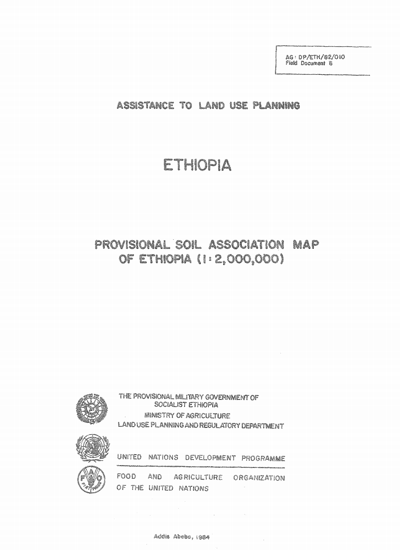
The 1: 2 000 000 Soil Associations map is based on
the Geomorphology and Soils map, at 1: 1 000 000 scals, prepared
by the FAO/UNDP Eth/78/003, Assistance to Land Use PlJ
Project in 1981 It incorporates some new information ob%,3 _
since the finalizing of the Geomorphology and soils map.
Interface between the Yemen soil database and the Automated Land Evaluation System (ALES). Version 1 - July 1990
The Soil Survey and Land Classification Project is developing a computerized land evaluation system for Yemen using an expert system shell (ALES) which is connected to the soil database (SDB). This report describes the technical and operational aspects of the interface which links the soil database with the expert system shell.