page search

Issuesland administrationLandLibrary Resource
There are 3, 553 content items of different types and languages related to land administration on the Land Portal.
Displaying 349 - 360 of 1666

The pastoralist’s parcel: towards better land tenure recognition and climate change response in Kenya’s dry lands

Journal Articles & Books
April, 2013
Kenya

Conventional notions of the ‘land parcel’ have been extended: previously unrecognized tenures including customary, nomadic, or communal interests are now incorporated into the concept. Technical tools including the Social Tenure Domain Model (STDM) enable these new understandings to be operationalized in land administration systems. The nomadic pastoralists of Kenya’s dry land regions illustrate where these new approaches can be applied.

Cadastral Systems and their Impact on Land Administration in Kenya

Journal Articles & Books
September, 2001
Kenya

The mandate of the Kenya Government in its objective to achieve sustainable development is to reduce poverty by half by 2015 and transform the country into a newly industrailized nation by the year 2020. This paper reviews the cadastral systems that have been formulated and implemented in Kenya ; the different concepts and techniques used in the preparation of cadastral survey plans and maps; and the impact of the cadastre as a source of spatial data in support of land administration processes.

The Structure of the Cadastral System in Kenya

Journal Articles & Books
June, 2013
Kenya

The cadastral system in Kenya was established in 1903 to cater for land alienation for the white settlers. Since then, a hundred years later, the structure of the system has remained more or less the same despite major changes in surveying technology. The government of Kenya has realized that the current structure is not conducive to economic demands of the 21st century and is interested in re-organizing the structure in line with the current constitutional dispensation and new paradigms in land management.

PREPARATION AND IMPLEMENTATION OF COUNTY SPATIAL PLANS

Manuals & Guidelines
January, 2017
Kenya

The Constitution of Kenya 2010 apportions responsibility of planning to both National and County governments. The County Government Act, 2012 obligates county governments to prepare and implement County Integrated Development Plans (CIDP). The CIDPs are, according to the act, five year plans that will form the basis of annual budgetary allocation by the county governments.

Land Use Policies and Natural Resource Management in Kenya: The Case of Nairobi River Basin

Journal Articles & Books
March, 2010
Kenya

Nairobi River Basin is a complex of several parallel rivers that flow through the City of Nairobi and empty into a larger river and flow to the Indian Ocean. The rivers are polluted with garbage, industrial liquid effluence, agro-chemicals, petro-chemicals among others. This situation has occasioned spread of water-borne diseases, loss of sustainable livelihoods, loss of biodiversity, reduced availability and access to safe potable water, and the insidious effects of toxic substances and heavy metal poisoning which affects human productivity.

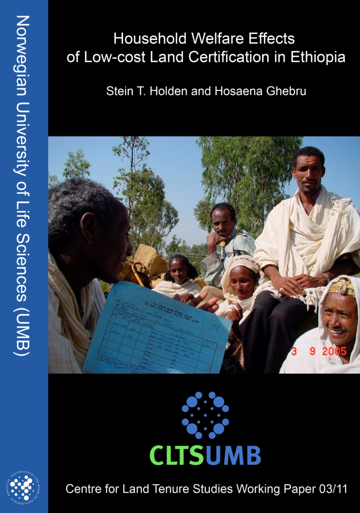
Household Welfare Effects of Low-cost land certification in Ethiopia

Reports & Research
February, 2011
Ethiopia

Several studies have shown that the land registration and certification reform in Ethiopia has been implemented at an impressive speed, at a low-cost, and with significant impacts on investment, land productivity, and land rental market activity. This study provides new evidence on land productivity changes for rented land and on the welfare effects of the reform. The study draws on a unique household panel, covering the period up to eight years after the implementation of the reform.

The role, meaning and the main parameters of intra-farm organization of the territory of agricultural enterprise

Journal Articles & Books
December, 2011
Belarus

In the conditions of the Republic of Belarus there was formulated a term of intra-farm organization of the territory of an agricultural enterprise. There was examined its content, role and meaning in the organization of agricultural production. On-farm organization of a territory of an agricultural enterprise represents a regularization of allocation of a complex of interrelated and interdependent sustainable elements of a territory which included natural and anthropogenic objects. There were presented the parameters, which characterized intra-farm organization of the territory.

Perspective directions for performing the cadastral function of land resource management

Policy Papers & Briefs
December, 2010
Belarus

The cadastre structure in the system of land and real estate management is determined by existing and technologically dependent kinds of works and procedures on registration, recording and valuation of real estate. A general approach to land evaluation of all categories is a differential rent income taking into account natural characteristics and location of pieces of land.

Proportional real estate tax application problems in Latvia

Policy Papers & Briefs
December, 2010
Latvia

Writing topics actuality is based on the government proposed property tax increase of 2011 residential tax. Author of the article concludes that till now disproportionately spacious cadastral value range and its inadequacy towards resident income has restricted to establish a fair personal income and property tax proportionate to the objective of appropriate tax. Just now Latvia is experiencing huge increase in amounts of real estate tax debt and number of debtors.

Determining misuse of agricultural lands in Yenimahalle district of Ankara using GIS and remote sensing techniques

Policy Papers & Briefs
December, 2012

This study is carried out to determine land use changes by Geographic Information Systems and Remote sensing methods in Yenimahalle district of Ankara province. Changes in land use were identified between 2000-2005 and 2000-2010. For the study Landsat-5 image of year 2000, Ikonos image of year 2005, and SPOT image of year 2010 were used. 1:25000 scale topo maps and soil maps, and CORINE land use data were also used. GPS data collected from field were used for ground truth studies.

Corpus-based comparative analysis of English and Latvian terms of land administration

Conference Papers & Reports
December, 2015
United Kingdom
Latvia

The article presents the analysis of the terms of land administration contained in the texts published in Latvia and the United Kingdom. The aim is to compare the terms used in Latvian texts, their translations in the English language with the terms used in authentic English texts, to identify the most controversial cases and to provide the explanation of the problem arising in working with the English terminology of land administration.