page search

Issuesland use mappingLandLibrary Resource
Displaying 169 - 180 of 276

Ministry of Development Policy Framework 2018 - 2023

Reports & Research
April, 2018
Brunei Darussalam

THE Ministry of Development (MoD)’s Policy Framework and Strategic Plan 2018-2023 is a comprehensive plan that outlines the policy direction in priority areas and provides strategy and implementation arrangements from aspects of land use planning, infrastructure development and environmental management so that they are closely coordinated with the country’s socio-economic development in line with duties and responsibilities towards the realisation of Brunei Vision 2035.

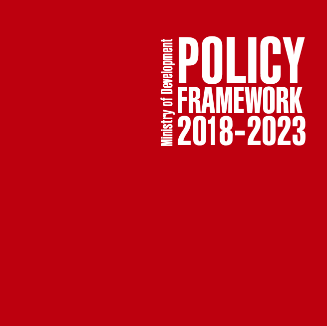
Projections of Future Land Use in Bangladesh under the Background of Baseline, Ecological Protection and Economic Development

Peer-reviewed publication
March, 2017
Bangladesh

Land is one of the important input resources in a highly populous and land-scarce country such as Bangladesh. When different factors change (such as, geophysical, proximity, socioeconomic and climatic), there are dramatic changes in the spatial pattern of land uses. Thus, shedding light on the dynamics of land use and land cover changes has great importance for finding the changing pattern of land use in Bangladesh.

Advances in the Coordination between the Cadastre and Land Registry

Peer-reviewed publication
January, 2021
Canada
Spain
United States of America

A necessary and effective coordination between cadastre and land registry has always existed in Spain, but the difficulties have only been specifically addressed in the last few years. The aim of this study is to illustrate, analyse, and evaluate advances in this coordination in Spain from the beginnings of the current system in the early twentieth century, with the cadastre and land registry operating as separate organisations. A preliminary study was made in 2002 of the difficulties that needed to be overcome to achieve an ideal coordination of mainly mapped information.

Een gezamenlijke cartografische basis voor samenwerking tussen DLG en VLM : notitie voor de Helpdesk Landelijk Gebied

Reports & Research
December, 2008
Belgium
Netherlands

Voor de samenwerking tussen Dienst Landelijke Gebied (DLG) en de Vlaamse Landmaatschappij (VLM) is het nodig dat de digitale landkaarten op elkaar aansluiten. Wageningen UR GeoDesk formuleerde een aanpak, die zowel voor DLG als VLM bruikbaar is. Zodoende kunnen de samenwerkende partners nu werken met kaartbeelden, waarin voorbij de landsgrens geen gat valt.

Inventarisatie van de behoefte aan geo-informatie over functioneel bodemgebruik in Nederland : het gebruik van een kaartenwaaier

Reports & Research
December, 2000

Om inzicht te krijgen in de behoefte aan geo-informatie over het functioneel bodemgebruik onder potentiële gebruikers is een ondersteunend beslismiddel ontworpen. Het betreft een zogenaamde kaartenwaaier, die zowel op papier als op internet beschikbaar is gemaakt. De indeling van de kaartenwaaier is gestructureerd rond de invalshoek, de basisgeometrie en de functiegroep (of kaartlaag) en gaat uit van de bestaande basisgeometrieën LGN, TOP10-vector en CBS-bodemstatistiek.