page search

Issuesland use mappingLandLibrary Resource
Displaying 157 - 168 of 276

Lèves cadastraux et immatriculation foncière en république socialiste tchécoslovaque

Conference Papers & Reports
December, 1971
Africa

L'origine du cadastre tchécoslovaque remonte à plusieurs siècles et l'on Peut en retracer l'histoire jusqu'au Moyen Age. Après diverses tentatives d'exploitation des données cartographiques et des documents relatifs aux titres de propriété une ordonnance a été promulgué en 1817 sur l'établissement d'un cadastre permanent.

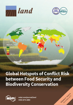
What’s (Not) on the Map: Landscape Features from Participatory Sketch Mapping Differ from Local Categories Used in Language

Peer-reviewed publication
November, 2017
Global

Participatory mapping of local land use as the basis for planning and decision-making has become widespread around the globe. However, still relatively little is known about the conceptual underpinnings of geographic information produced through participatory mapping in given cultural and linguistic settings. In this paper, we therefore address the seemingly simple question of what is (not) represented on maps through an exploratory case study comparing land use categories participants represented on sketch maps with categories elicited through more language-focused ethnographic fieldwork.

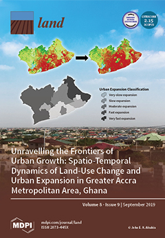
Farms or Forests? Understanding and Mapping Shifting Cultivation Using the Case Study of West Garo Hills, India

Peer-reviewed publication
September, 2019
India

Attempts to study shifting cultivation landscapes are fundamentally impeded by the difficulty in mapping and distinguishing shifting cultivation, settled farms and forests. There are foundational challenges in defining shifting cultivation and its constituent land-covers and land-uses, conceptualizing a suitable mapping framework, and identifying consequent methodological specifications.

Using Farmer Decision Rules for Mapping Historical Land Use Change Patterns from 1954 to 2007 in Rural Northwestern Vietnam

Peer-reviewed publication
September, 2019
Vietnam

The present study revealed how local socioecological knowledge elucidated during participatory rural appraisals and historical remote sensing data can be combined for analyzing land use change patterns from 1954 to 2007 in northwestern Vietnam. The developed approach integrated farmer decision rules on cropping preferences and location, visual and supervised classification methods, and qualitative information obtained during various forms of participatory appraisals.

THE LAND SECTOR NON-STATE ACTORS (LSNSA)

Journal Articles & Books
September, 2011
Kenya

kenya land alliance download :Memorandum On Continued Engagement With The Ministry Of Lands On Land Reforms Presented To: The Ministry Of Lands. The approval by the public of the Constitution at the referendum on August 4, 2010 and its promulgation on August 27, 2010 heralded a new dawn of governance in Kenya. Through its broad provisions, it is expected that it will spur social and economic development and secure the land rights of all Kenyans, by among others guaranteeing them ownership, control and access to natural resources.

Unjust-Enrichment-Volume 2

Journal Articles & Books
December, 2007
Kenya

The figures of public resources estimated to have been channeled into private pockets are so high one hopes, obviously against hope, that they would turn out to be typographical errors. The figures of public resources estimated to have been channeled into private pockets are so high one hopes, obviously against hope, that they would turn out to be typographical errors.

KENYA LAND POLICY: ANALYSIS AND RECOMMENDATIONS

Journal Articles & Books
May, 2009
Kenya

This analysis and recommendations stem from USAID/Kenya’s request for an assessment of Kenya’s draft National Land Policy (dNLP).4 It was conducted under the global task order: Property Rights and Resource Governance Program, a mechanism designed and supervised by USAID-EGAT’s Land Resources Management Team under the Office of Natural Resources Management.

Land Use Planning

Manuals & Guidelines
February, 2012
Global

Land is a scarce resource increasingly affected by the competition of mutually exclusive uses. Fertile land in rural areas becomes scarcer due to population growth, pollution, erosion and desertification, effects of climate change, urbanization etc. On the remaining land, local, national and international users with different socioeconomic status and power compete to achieve food security, economic growth, energy supply, nature conservation and other objectives. Land use planning can help to find a balance among these competing and sometimes contradictory uses.

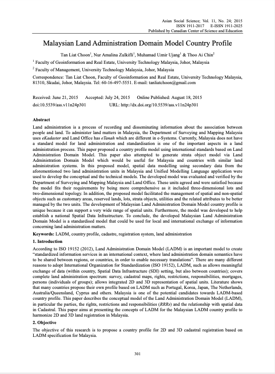
Malaysian Land Administration Domain Model Country Profile

Peer-reviewed publication
July, 2015
Malaysia

Land administration is a process of recording and disseminating information about the association between people and land. To administer land matters in Malaysia, the Department of Surveying and Mapping Malaysia uses eKadaster and Land Office has eTanah which are different in e-Systems. Currently, Malaysia does not have a standard model for land administration and standardisation is one of the important aspects in a land administration process. This paper proposed a country profile model using international standards based on Land Administration Domain Model.