Land Change in the Greater Antilles between 2001 and 2010
Land change in the Greater Antilles differs markedly among countries because of varying socioeconomic histories and global influences. We assessed land change between 2001 and 2010 in municipalities (second administrative units) of Cuba, Dominican Republic, Haiti, Jamaica, and Puerto Rico. Our analysis used annual land-use/land-cover maps derived from MODIS satellite imagery to model linear change in woody vegetation, mixed-woody/plantations and agriculture/herbaceous vegetation. Using this approach, we focused on municipalities with significant change (p ? 0.05).
Estimating flow resistance of wetlands using SAR images and interaction models
The inability to monitor wetland drag coefficients at a regional scale is rooted in the difficulty to determine vegetation structure from remote sensing data. Based on the fact that the backscattering coefficient is sensitive to marsh vegetation structure, this paper presents a methodology to estimate the drag coefficient from a combination of SAR images, interaction models and ancillary data. We use as test case a severe fire event occurred in the Paraná River Delta (Argentina) at the beginning of 2008, when 10% of the herbaceous vegetation was burned up.
Cartografía de coberturas del suelo mediante Sensores Remotos, de la ciudad de Resistencia, Argentina (2013)
Los Sensores Remotos se han convertido en los últimos tiempos en una herramienta importante para la planificación territorial, debido a la originalidad metodológica con la cual operan y el amplio espectro de observación de la superficie terrestre. El número de algoritmos disponibles en la literatura científica, permiten tratar individualmente muchas de las coberturas terrestres y caracterizarlas en base a su comportamiento espectral. En el presente trabajo se han aplicado dos métodos de clasificación de imágenes: árboles de decisión o reglas y clasificación no supervisada.
Strengthening Land Tenure in Informal Settings: A Fit-For-Purpose Approach
A functioning land administration sector is the foundation for economic growth. Unfortunately, effective land registry and cadastral systems with national coverage exist in only a fraction of the world’s countries. Cadasta Foundation is working to overcome this challenge by developing simple digital tools and technology to help partners efficiently document, analyze, store, and share critical land and resource rights information.
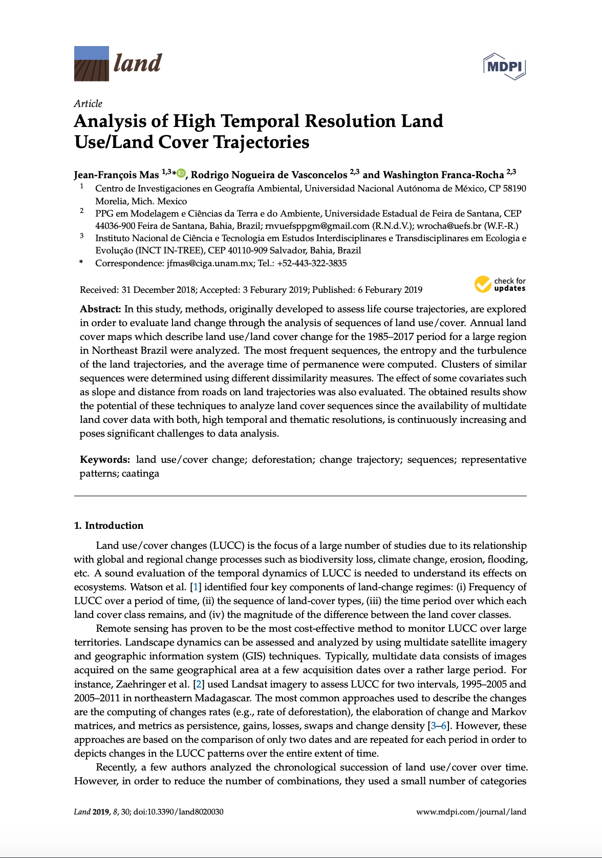
Analysis of High Temporal Resolution Land Use/Land Cover Trajectories
In this study, methods, originally developed to assess life course trajectories, are explored in order to evaluate land change through the analysis of sequences of land use/cover. Annual land cover maps which describe land use/land cover change for the 1985–2017 period for a large region in Northeast Brazil were analyzed. The most frequent sequences, the entropy and the turbulence of the land trajectories, and the average time of permanence were computed. Clusters of similar sequences were determined using different dissimilarity measures.
Mapping of the BCLME shoreline, shallow water & marine habitats: Physical mapping project.
Project in collaboration with the Benguela Environment Fisheries Interaction & Training Programme (BENEFIT) for the Benguela current Large MArine Ecosystem (BCLME) Programme.
Assessing potential to produce final ocean colour maps of Namibia`s marine environment: Final report for BCLME/UNOPS PCU/POLYTECH/05/01 MODIS.
Land Rights for Slum Dwellers in Odisha: Making technology work for the urban poor
The webinar Land Rights for Slum Dwellers in the East Indian State Odisha: Making technology work for the urban poor took place on 14 February, 2018.
The webinar discussed anecdotes of the land rights policy in the state, application of innovative technology, processes and partnerships in the project execution and best practices followed in gaining rights for slum dwellers.
This report provides a brief summary of the webinar dialogue and the main points that emerged.
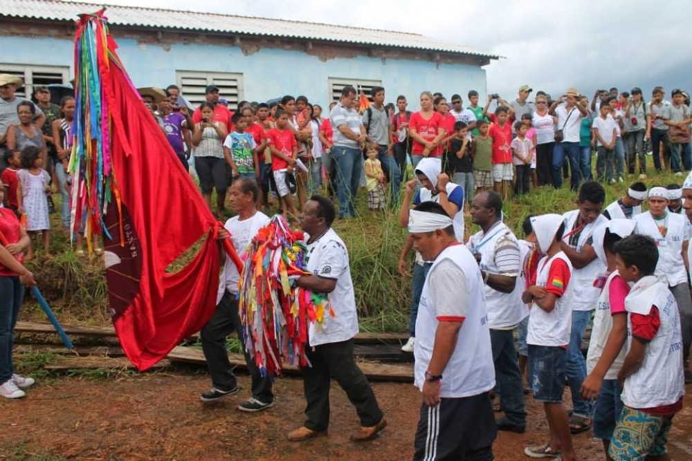
A resistência da comunidade quilombola do Forte Príncipe da Beira
A comunidade quilombola do Forte Príncipe da Beira fica no município de Costa Marques, Estado de Rondônia/Brasil. Abrange a extensão de 20.108,8709 hectares em plena região amazônica. Forma parte desses territórios chamados de “Negros do Guaporé” constituídos a partir de distintos processos de territorialização, desde o século XVIII na linha de fronteira entre Brasil e Bolívia...
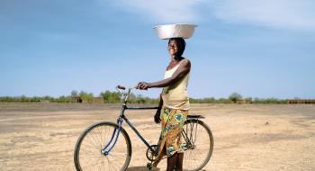
World Bank: The Sahel and West Africa Program (SAWAP), in support of the Great Green Wall Initiative
Sahelian Africa is significantly affected by rainfall variability. Its populations are among the poorest and most threatened by climatic changeability and land degradation, as they depend heavily on healthy ecosystems to sustain their livelihoods. Increasing pressures on food, fodder, and fuelwood have a significant impact on the environment; and frequent droughts and poorly managed land and water resources contribute to expanding soil erosion. The Great Green Wall for the Sahara and the Sahel Initiative emerged in 2007 to address climate change, land degradation, and desertification.
Mapping opportunities for forest landscape restoration
The typical response to the loss of forest cover has been to plant trees, usually, but not always, on an industrial scale, and with a limited mix of species. Indeed, planted forests now make up 7 percent of the world’s forest area and contribute over 40 percent of the global industrial wood and fibre supply (FAO, 2010).


